Exploring an Ecosystem in Transition: The Road to Flamingo
Bill Nuttle ·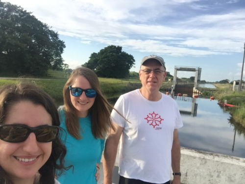
The Florida Everglades is an ecosystem in transition, but is it transitioning toward a condition that people find desirable? This is a question that the Everglades report card may be able to answer. Currently, the Integration and Application Network is working with water managers and ecologists to incorporate an environmental report card into the Everglades 2019 System Status Report. This will be the sixth in a series of reports intended to track progress in the Comprehensive Everglades Restoration Plan (CERP). After seventeen years of CERP, the Everglades is showing signs of recovery. However, in recent years the effects of climate change and accelerated sea level rise also are appearing. Unanticipated in the design of CERP, these factors have the potential to steer the Everglades’ transition in a different direction.

The Everglades is an extensive wetland ecosystem that covers most of South Florida. Within CERP, federal and state water managers work to restore the Everglades to pre-existent conditions before wide-spread drainage and development altered its hydrology. Launched by the US Congress in 2000, CERP was among the first of several large-scale projects now underway to restore regional ecosystems in the US. Other similar work is going on around San Francisco Bay, the Mississippi River deltaic region, the Upper Mississippi River basin, Long Island Sound, and the Chesapeake Bay. The 2019 SSR will include, for the first time, an Everglades report card similar to IAN’s Chesapeake Bay report card.
Following a series of workshops, the IAN team took the opportunity in August to visit Everglades National Park and see a portion of the ecosystem up close. This park was built in 1947 to protect and preserve this unique landscape. Beginning in the late 19th century, various development schemes converted about one third of the original extent of the Everglades to farmland. The wetlands along the southeast coast of Florida were drained and filled to accommodate the rapidly growing cities of Miami and Fort Lauderdale. The creation of the park preserved the largely untouched southern third of the Everglades from the direct impacts of development. However, it could not protect the ecosystem from the indirect impacts of altered water flow from activities upstream and along its eastern boundary. In response to these impacts, CERP derived from research that began in the 1970s in order to research and restore pre-drainage hydrologic conditions.
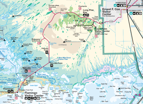
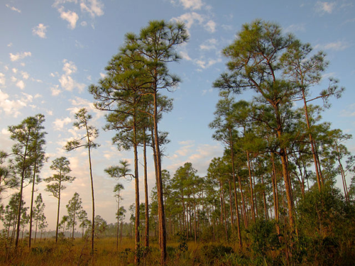
The IAN team travelled from the main park entrance, near Florida City, to Flamingo, at the southernmost point on the Florida mainland. Along the way we saw the full range of the park’s distinctive natural habitats. The Everglades landscape is primarily shaped by subtle differences in the frequency and duration of soil surface flooding, a characteristic known as hydroperiod. Disturbance by fire and hurricane also influence the structure of the landscape.
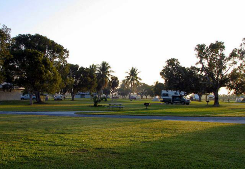
Just before entering the park, the road crosses the C111 Canal, one of the major drainage canals that make it possible to grow tomatoes where sawgrass grew formerly. Immediately inside the entrance gate, the road crosses Taylor Slough, the smaller of two flow ways that convey fresh surface water through Everglades Park. Taylor Slough is an important source of freshwater inflow needed to maintain productive, estuarine conditions in Florida Bay and the adjacent coastal mangroves.
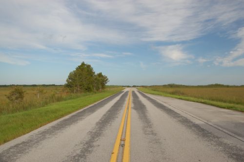
At Taylor Slough we encountered some of the restoration activities that aim to reverse the impacts of altered regional hydrology. The construction of the C111 drainage canal in the 1960s cut off Taylor Slough from its headwaters, in addition to draining the farmland to the east, and it drastically reduced the amount of freshwater inflow into Florida Bay. To restore the amount of water flowing south to Florida Bay, water managers have installed pumps along the park’s eastern boundary to lift water out of the drainage canals and discharge it into Taylor Slough. If you know where to look, it is possible to see the pump station about a mile or so north from an interpretive sign along the road that describes its restoration.
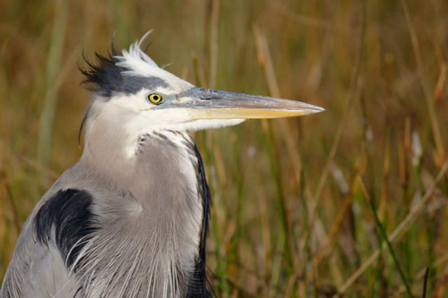
Vegetation in Taylor Slough has responded as hoped to the water added from pumping. The area covered by flood-tolerant “slough” species has increased. This is an encouraging sign, because it confirms the hypothesis underlying CERP that if water managers can restore the hydrology to what it was prior to drainage, then the ecology of the Everglades will recover on its own. But, the outlook for restoration’s success is complicated by recent an acceleration in the rate of sea level rise.
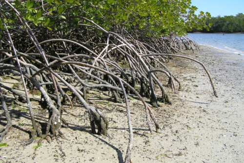
The slow rise of sea level helped shape the evolution of the South Florida landscape over the ~4000 years that the Everglades has existed. Water level monitoring in the park confirms that rising sea level influences the hydroperiod in wetland areas far inland from the coastlines of Florida Bay and the Gulf of Mexico. In this area the ecosystem has maintained a dynamic balance between processes of soil loss and accretion, as such, soil accretion has matched sea-level rise. However, with a warming climate, the rate of sea level rise has accelerated sharply since before 2000. Will the ecosystem be able to maintain the balance between soil accretion and loss?