

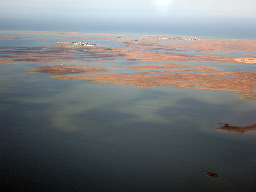
Tylerton and Rhodes Point
Looking west, the towns of Tylerton and beyond that is Rhodes Point on Smith Island in Chesapeake Bay.
aerial bay creek geomorphology marsh town rural development wetlands Smith Island Chesapeake Bay Martin National Wildlife Refuge Somerset County MarylandTangier Sound| Property | Value |
|---|---|
| Author(s) | Ben Fertig |
| Author Company | Integration and Application Network |
| Date Created | 2008-05-01 |
| Album | Ecosystems > Coastal/Marine |
| Type | Photo |
| Dimensions | 3264 x 2448 |
| Filesize | 5.6 MB |
| Number of Downloads | 312 |
| Filetype(s) | JPG |
| License | Attribution-ShareAlike 4.0 International (CC BY-SA 4.0) |
| Required Attribution | Ben Fertig, Integration and Application Network (ian.umces.edu/media-library) |