

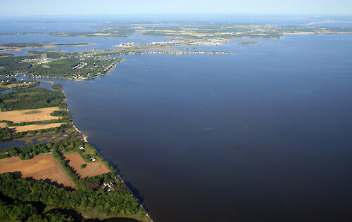
Kent Narrows
Looking west from Grasonville over Kent Narrows to Kent Island. The Kent Island bridge and Bay Bridge are visible. Eastern Bay is on the southern (left) side of Kent Narrows; the Chester River is on the northern (right) side.
Chesapeake Bay aerial agriculture farms Chester River shoreline| Property | Value |
|---|---|
| Author(s) | Jane Thomas |
| Author Company | Integration and Application Network |
| Date Created | 2007-05-24 |
| Album | Ecosystems > Coastal/Marine |
| Type | Photo |
| Dimensions | 3471 x 2193 |
| Filesize | 4.5 MB |
| Number of Downloads | 300 |
| Filetype(s) | JPG |
| License | Attribution-ShareAlike 4.0 International (CC BY-SA 4.0) |
| Required Attribution | Jane Thomas, Integration and Application Network (ian.umces.edu/media-library) |