

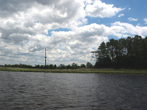
Monie Creek
Monie Creek wends along, emptying into Monie Bay. Much of its length is surrounded by Spartina marsh and forest, along its flat topography.
monie bay trees Somerset County MarylandNERR Chesapeake Bay National Estuarine Research Reserve Monie Creek forest marsh creek clouds sky water quality monitoring protected area| Author(s) | Hilary Stevens |
| Date Created | 2008-07-01 |
| Album | Ecosystems > Coastal/Marine |
| Type | Photo |
| Dimensions | 2272 x 1704 |
| Filesize | 464.5 kB |
| Number of Downloads | 97 |
| Filetype(s) | JPG |
| License | Attribution-ShareAlike 4.0 International (CC BY-SA 4.0) |
| Required Attribution | Hilary Stevens (ian.umces.edu/media-library) |