

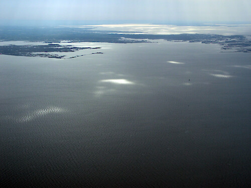
Southwest Somerset County
Looking northeast onto southwest Somerset County near Crisfield.
wetlands| Property | Value |
|---|---|
| Author(s) | Emily Nauman |
| Author Company | Integration and Application Network |
| Date Created | 2008-05-01 |
| Album | Ecosystems > Coastal/Marine |
| Type | Photo |
| Dimensions | 2272 x 1704 |
| Filesize | 2.3 MB |
| Number of Downloads | 254 |
| Filetype(s) | JPG |
| License | Attribution-ShareAlike 4.0 International (CC BY-SA 4.0) |
| Required Attribution | Emily Nauman, Integration and Application Network (ian.umces.edu/media-library) |