

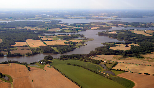
Tributaries of the Chester River
From front to back: West Fork (Langford Creek), East Fork, mainstem Chester River, Corsica River.
shoreline river Chesapeake Bay farms agriculture| Property | Value |
|---|---|
| Author(s) | Jane Thomas |
| Author Company | Integration and Application Network |
| Date Created | 2007-05-30 |
| Album | Human > Agriculture |
| Type | Photo |
| Dimensions | 3448 x 1983 |
| Filesize | 4.3 MB |
| Number of Downloads | 345 |
| Filetype(s) | JPG |
| License | Attribution-ShareAlike 4.0 International (CC BY-SA 4.0) |
| Required Attribution | Jane Thomas, Integration and Application Network (ian.umces.edu/media-library) |