2013 Mills Creek Report Card
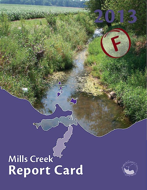
Mills Creek is a small tributary to Sandusky Bay on the south-central shore of Lake Erie. The Mills Creek watershed is largely developed by a combination of urban and agricultural land uses. Mills Creek is also part of a Karst geological region, which is characterized by a series of sinkholes and underground rivers flowing through cracks and cavities in the limestone bedrock. Using water quality indicators, the health of the Creek was determined for 2013. This report card provides the overall results, and describes how the public can help as well.
Keywords: