An Eastern Shore overflight
Jane Thomas ·Last Thursday, Bill Dennison and Jane Thomas from IAN and Mike Malpezzi from the Horn Point Lab took to the skies for a photographic expedition over the Eastern Shore. The unseasonably low humidity meant better visibility than you might expect this time of year, so we decided to take advantage of that.
Overflights are a great way to gain a whole new perspective on waterways and their watersheds.
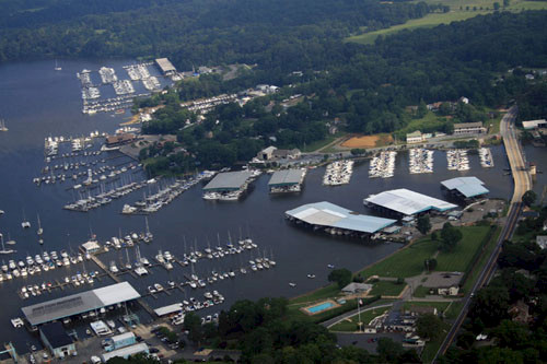
Aerial photos are a fantastic addition to any image library and can effectively show large-scale processes like algal blooms and land use.
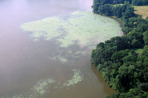
Leaving from Cambridge-Dorchester regional airport, we headed north (basically following Route 301) to the Sassafras River on the northern Eastern Shore.
We then traveled west along the river, taking photos and video along the way. We passed Fredericktown and Glencoe before the proximity of the Aberdeen Proving Grounds on the western shore (and the associated restricted airspace) meant we had to veer south towards the Chester River.
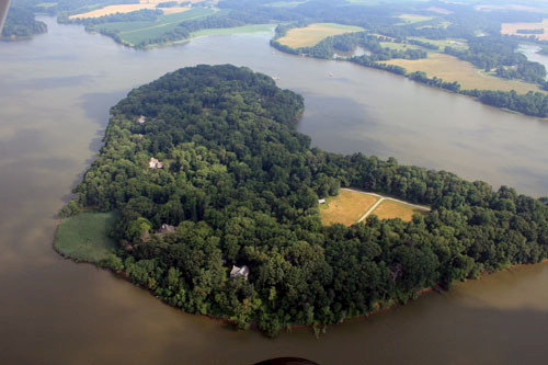
We followed the Chester River all the way from Crumpton in the east down to Indian Town near where the Chester enters the mainstem Chesapeake Bay.
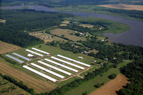
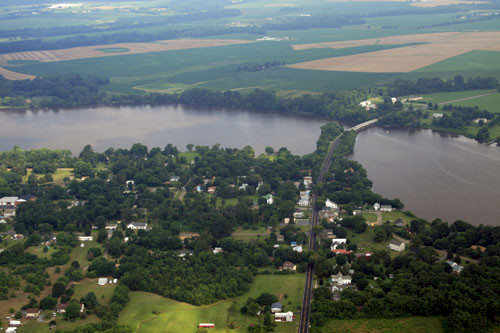
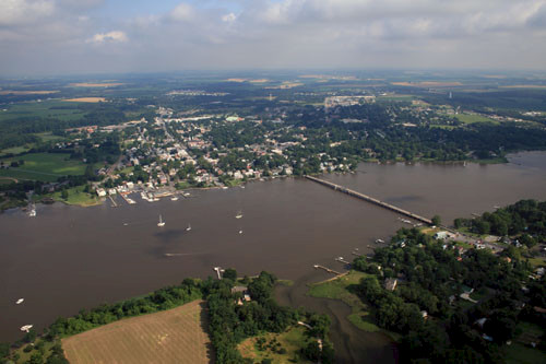
After that, we headed south back towards the Cambridge-Dorchester airport, but not before doing a flyby over the Horn Point Laboratory and Center Administration of the University of Maryland Center for Environmental Science - we got some great pictures of the lab, new dock construction, and our own IAN building!
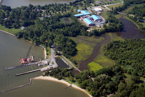
All photos are available in our IAN image library.