Natural gas, live cattle, algal blooms & crocodiles: Darwin Harbour field trip
Bill Dennison ·On June 1, I boarded the 'Beaglet', a Natural Resources, Environment, The Arts and Sport (NRETA) boat for a Darwin Harbour field trip. I enjoyed the naming reference to the famous ship 'Beagle' that Charles Darwin sailed around the world, including his famous visit to the Galapagos Islands. The boat skipper was Matt Majid and Julia Fortune was the biologist leading the tour. Professor Andrew Campbell from Charles Darwin University and Dr. David Parry from the Australian Institute of Marine Science were also aboard.
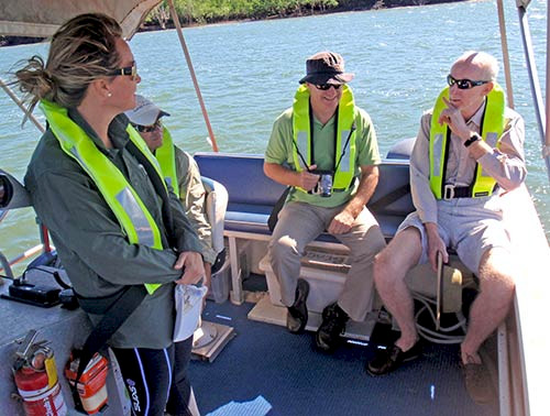
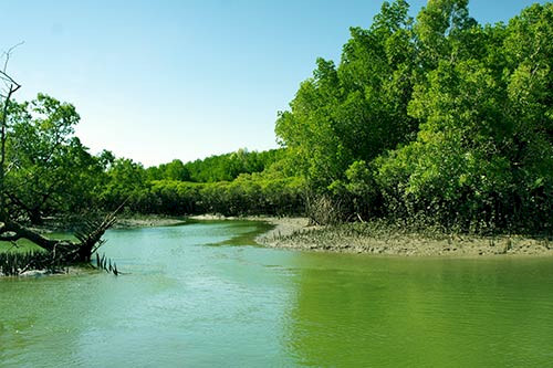
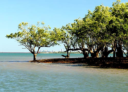
The first thing that was apparent to me was that Darwin Harbour should have been named Darwin Bay. It is a huge semi-enclosed body of water (500 square kilometers; 200 square miles) with many tidal creeks feeding into it. The word 'harbor' infers a ship basin or at least a place where the oceanic exchange is limited. In contrast, Darwin Harbour is well flushed with large tides which vary between 2.5 m (8 feet) during neap tides and up to 7 m (23 feet) during spring tides. The natural shoreline is dominated by extensive mangrove forests and broad mud flats. There are rocky reefs covered by soft corals, sponges and some hard corals as well. Darwin Harbour has three main arms, West Arm, Middle Arm and East Arm. The city of Darwin is located on the east side of of the harbor, near the mouth.
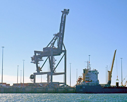
We saw East Arm wharf, where the bulk ore and shipping containers are loaded and unloaded. The wharf was originally designed for shipping containers, but the resource boom has led to an expansion of the ore handling capacity of the wharf. Copper, manganese and iron ore is shipped via rail from South Australia and loaded into ore carrying ships. There is an issue with the ore dust and spillage that occurs in the loading process, releasing metals into the harbor. The Darwin climate makes it difficult to load ore, as it is either too wet or too dry, rarely in between.
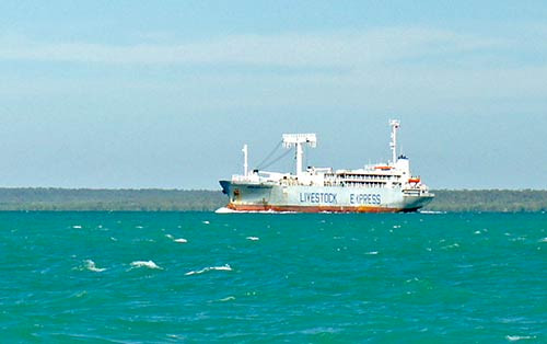
The other major export from Darwin is live cattle which are transported from central Australia to Darwin via 'road trains', long semi-trailers with two stacks of cattle on each trailer. The live cattle ships take cattle to Indonesia slaughterhouses. They are shipped live so that the Indonesians can butcher the cattle using Muslim practices. A recent expose aired on Australian television about the horrific conditions in the Indonesian slaughterhouses, so it will be interesting to see what happens regarding the live cattle market.
We motored over a long rocky shoal, Walker Shoal, on our way to Blaydin Point. Blaydin Point is on the peninsula that separates East Arm from Middle Arm. It is also the site of the proposed gas refinery that will process natural gas derived from a gas field on the Northwest Australian shelf. The proposal is for an underwater gas pipeline to travel over 700 km (430 miles) from the gas field to Darwin Harbour. In order to get the large Liquid Natural Gas (LNG) ships in and out of Darwin Harbour to the Blaydin Point refinery, Walker Shoal would need to be removed requiring explosives and continual dredging that would last years, with a dredge spoil site well outside of the Harbour.
We traveled into the Elizabeth River at the head of East Arm. One of the mangrove lined tidal creeks that feeds into the Elizabeth River is called Myrmidon Creek and it is the site of the sewage treatment effluent from the satellite town of Palmerston. This creek was literally fluorescent green in color, a result of the chronic algal blooms that the nutrient enhancements induce.
We saw some dolphins, which are common in Darwin Harbour. Three dolphin species inhabit Darwin Harbour; the Indo-Pacific humpback dolphin (Sousa chinensis), the Pacific bottle nose dolphin (Tursiops adencus) and the Australian snubnose dolphin which used to be called the Irrawaddy River dolphin (Orcaella heinsiloni). There are also dugong, sea turtles, 2-3 m sawfish, sharks and the iconic saltwater crocodiles. Darwin Harbour is the site of several famous crocodile attacks. In the summer, there are 'stingers' or box jellies which are highly toxic and prevent locals from swimming.
We motored along the Darwin central business district which included the Northern Territory Parliament House. The outfall for central Darwin sewage is just offshore, with seabirds diving on the discharge which the locals affectionately call the "pooh shooter". It is a bit rough to continue over to Shoal Bay and Buffalo Creek where another sewage discharge leads to anoxia events with fish jumping out of the water and huge mudskippers (up to 30 cm; 1 foot long).
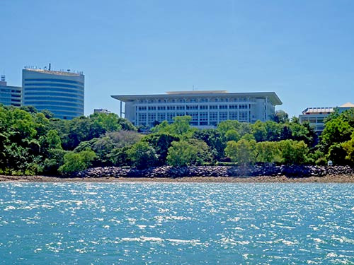
Over the course of the field trip, we were able to observe the large gradients in water quality, with sewage effluent at one end and well flushed oceanic water at the other end of the spectrum. The relatively pristine shoreline with mangroves was also contrasted to the industrialized shoreline. Darwin Harbour is destined for major changes and it is nice to know that a small, but highly competent and knowledge group of environmental scientists are monitoring and reporting the status of the Harbour.
About the author
Bill Dennison

Dr. Bill Dennison is a Professor of Marine Science and Vice President for Science Application at the University of Maryland Center for Environmental Science.

