South East Queensland Floods 2011 newsletter #2

Flood newsletter on impacts to creeks, streambanks and paddocks

Bill Dennison ·
16 March 2011
Queensland Floods | 

This newsletter was interesting to put together, as it involved looking through hundreds of photographs of flood damage in the Moreton Bay watershed. Some of the photos were staggering. There were photos of tractors and automobiles crushed like small tin cans, a time sequence of water rising over a farm shed within minutes, streambeds stripped down to the bedrock, and tree roots exposed instead of being buried deep in soil.

Read more

Bill's students on mud flats on North Stradbroke Island, Moreton Bay, Australia

Experiential education: Changing the way we teach

Bill Dennison ·
15 March 2011
Learning Science | 

My university teaching experience has been quite varied. I have taught first year students in massive lecture halls, graduate students in small groups, and everything in between. At the University of Maryland Center for Environmental Science, we teach using an interactive video network. My attitude about the large lecture setting is that the students forget what I said shortly after I say it, and I forget what I said shortly after I say it.

Read more

Dr. Chris Roelfsema at the University of Queensland.

Encountering Former Students

Bill Dennison ·
10 March 2011
Learning Science |     1 comments

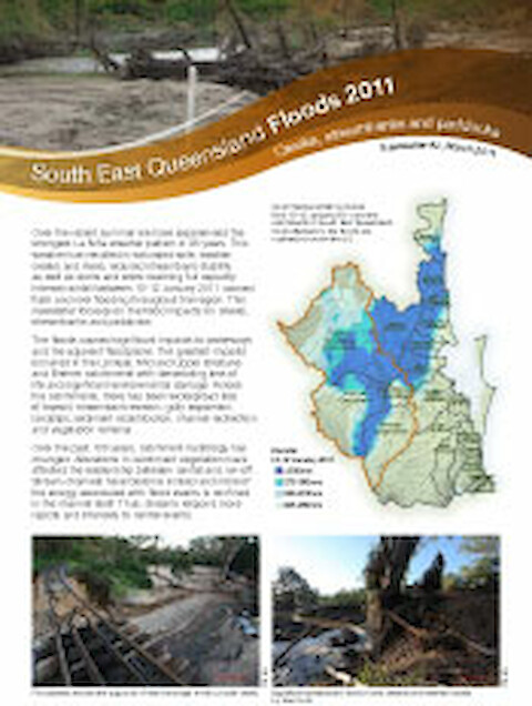
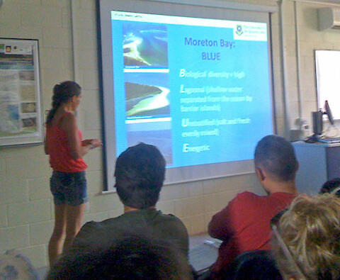
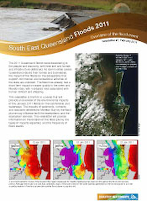
On Monday, I went to the University of Queensland to meet with a former student, Dr. Chris Roelfsema and his student Mitch Lyons. Chris and Mitch, who are part of Professor Stuart Phinn's remote sensing group, had worked up a seagrass risk map for Moreton Bay, based on light attenuation from the flood plume, bathymetry and knowledge of seagrass light requirements.

Read more

Emma Lewis from the Moreton Bay Research Station presenting an overview of Moreton Bay.

International WaterCentre field trip to North Stradbroke Island

Bill Dennison ·
8 March 2011
Learning Science |     1 comments

The International WaterCentre, formed as a consortium of four Australian universities, offers a Master's degree program in water management. As part of the 18 month (full time) course, a field trip to North Stradbroke Island is included. I attended two of the three days, and led a field trip to the seagrass beds in One Mile Harbor, near the town of Dunwich. The Moreton Bay Research Station in Dunwich was used in the course.

Read more

IAN Online Diagram Creator showing its vector node editing capabilities.

Online Diagram Creator

Adrian Jones ·
7 March 2011
Science Communication |     13 comments

Along with the release of v6.0 of the IAN Symbol Libraries (see the blog announcement), IAN has developed a free online diagram creator. This tool allows users to create conceptual diagrams in their web browser without the need for expensive software. The diagrammer connects directly to our symbol library database so that users can search for symbols by keywords, browse the albums, select from an IAN project symbol set, or work from their lightbox collection.

Read more

South East Queensland  Floods 2011 newsletter #1

South East Queensland 2011 flood newsletter

Bill Dennison ·
2 March 2011
Queensland Floods | 

A 2011 Flood Science Taskforce was convened on 20 January 2011 to coordinate flood monitoring efforts and to discuss potential environmental impacts in the catchment and the waterways, including Moreton Bay. At the task force meeting, aerial and satellite images were displayed, the hydrodynamic model was run and available data were presented.

Read more

Allan Sutherland on the Redcliffe pier as a boy and thirty years later

Lunch with Mayor Allan Sutherland in Redcliffe

Bill Dennison ·
28 February 2011
Queensland Floods | 

The mayor of Moreton Bay Regional Council, Councillor Allan Sutherland, invited me and Eva Abal, the scientific coordinator for several Brisbane based organizations, Healthy Waterways, International Water Centre, Great Barrier Reef Foundation (and my first PhD student) for lunch in Redcliffe. Allan was Deputy Mayor of Redcliffe City Council when I first met him.

Read more

Where river meets sea: exploring Australia's estuaries

Two Guys and a Tinny: Conducting estuarine assessments

Bill Dennison ·
25 February 2011
Environmental Report Cards |     1 comments

I had the opportunity to catch up with Steven Walker, the Executive Dean of the newly formed Faculty of Science at the University of Queensland. Years ago, Steven and I worked on an interesting project which was to assess the health of the 1000+ Australian estuaries as part of the National Land and Water Resources Audit. The estuary project was divided into three components, 1) a concept mapping and initial assessment of each estuary (summarized in the book "Where River Meets Sea:

Read more