

Annapolis
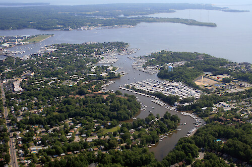
View down Back Creek towards the Severn River. Eastport is on the left. The Anne Arundel wastewater treatment plant is visible on the right.
Chesapeake Bay river shoreline city buildings Annapolis Anne Arundel boats boat docks marina| Property | Value |
|---|---|
| Author(s) | Jane Thomas |
| Author Company | Integration and Application Network |
| Date Created | 2007-05-24 |
| Album | Human > Development/Infrastructure |
| Type | Photo |
| Dimensions | 3504 x 2336 |
| Filesize | 5.3 MB |
| Number of Downloads | 364 |
| Filetype(s) | JPG |
| License | Attribution-ShareAlike 4.0 International (CC BY-SA 4.0) |
| Required Attribution | Jane Thomas, Integration and Application Network (ian.umces.edu/media-library) |