

Flood protection levee
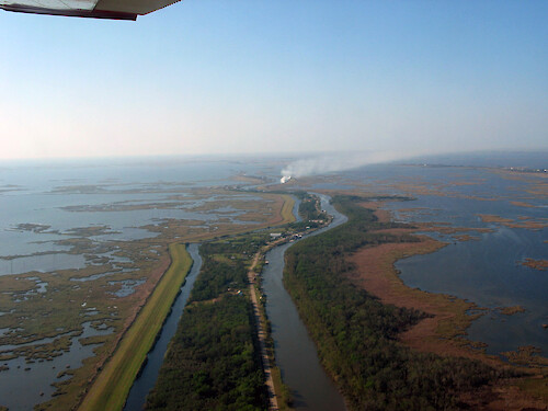
Flood protection barrier sout east of Houma in coastal Louisiana
Coastal Louisiana hurricane sea level rise clear coastal erosion development processes ecosystem services| Property | Value |
|---|---|
| Author(s) | Alaina Owens |
| Author Company | Louisiana State University |
| Date Created | 2005-11-19 |
| Album | Human > Management/Restoration |
| Type | Photo |
| Dimensions | 2272 x 1704 |
| Filesize | 1.9 MB |
| Number of Downloads | 248 |
| Filetype(s) | JPG |
| License | Attribution-ShareAlike 4.0 International (CC BY-SA 4.0) |
| Required Attribution | Alaina Owens, Louisiana State University (ian.umces.edu/media-library) |