

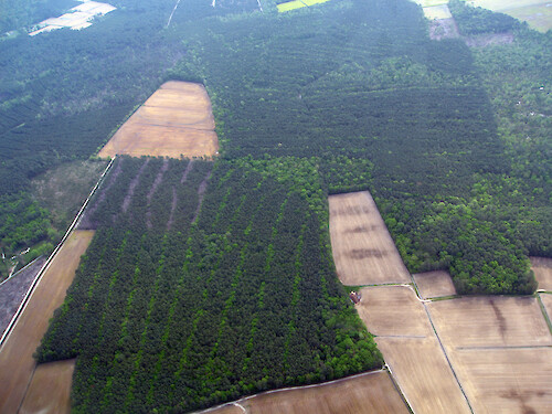
Virginia's Eastern Shore
Aerial view of a forest in Virginia's Eastern Shore.
aerial agriculture farm field trees fallow forest row crops tree rows| Property | Value |
|---|---|
| Author(s) | Ben Fertig |
| Author Company | Integration and Application Network |
| Date Created | 2008-05-01 |
| Album | Human > Agriculture |
| Type | Photo |
| Dimensions | 3264 x 2448 |
| Filesize | 6.3 MB |
| Number of Downloads | 321 |
| Filetype(s) | JPG |
| License | Attribution-ShareAlike 4.0 International (CC BY-SA 4.0) |
| Required Attribution | Ben Fertig, Integration and Application Network (ian.umces.edu/media-library) |