

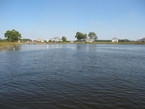
Development along Monie Creek
A few housing developments can be seen in upstream areas of Monie Creek.
housing development landuse creeks Monie Creek buoys oyster biological indicators| Property | Value |
|---|---|
| Author(s) | Ben Fertig |
| Author Company | Integration and Application Network |
| Date Created | 2010-11-10 |
| Album | Human > Development/Infrastructure |
| Type | Photo |
| Dimensions | 3264 x 2448 |
| Filesize | 972.1 kB |
| Number of Downloads | 304 |
| Filetype(s) | JPG |
| License | Attribution-ShareAlike 4.0 International (CC BY-SA 4.0) |
| Required Attribution | Ben Fertig, Integration and Application Network (ian.umces.edu/media-library) |