

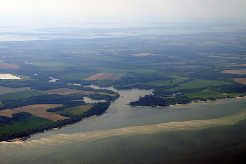
The Gulf on the eastern shore of Virginia
The Gulf on the eastern shore of Virginia, with shoals and seagrass visible. The Virginia Coastal Bays are visible in the background
Chesapeake Bay Eastern Shore aerial tributary rural Delmarva tidal estuary seagrass SAV shoals submerged aquatic vegetation islVirginia Northampton County| Property | Value |
|---|---|
| Author(s) | Jane Thomas |
| Author Company | Integration and Application Network |
| Date Created | 2008-05-01 |
| Album | Ecosystems > Coastal/Marine |
| Type | Photo |
| Dimensions | 3504 x 2336 |
| Filesize | 1.8 MB |
| Number of Downloads | 295 |
| Filetype(s) | JPG |
| License | Attribution-ShareAlike 4.0 International (CC BY-SA 4.0) |
| Required Attribution | Jane Thomas, Integration and Application Network (ian.umces.edu/media-library) |