

Monitoring agricultural drainage
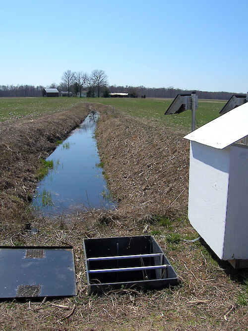
Drainage ditch, control structure, and solar-powered control station in a field in the Choptank Watershed.
drainae ditch agriculture control station solar choptank watershed| Property | Value |
|---|---|
| Author(s) | Caroline Donovan |
| Author Company | Integration and Application Network |
| Date Created | 2008-03-24 |
| Album | Human > Agriculture |
| Type | Photo |
| Dimensions | 1712 x 2288 |
| Filesize | 1.9 MB |
| Number of Downloads | 352 |
| Filetype(s) | JPG |
| License | Attribution-ShareAlike 4.0 International (CC BY-SA 4.0) |
| Required Attribution | Caroline Donovan, Integration and Application Network (ian.umces.edu/media-library) |