

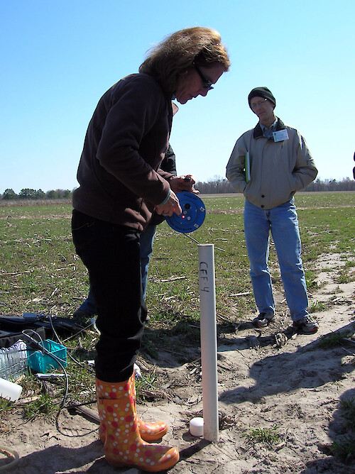
Water quality measurements
Demonstrating how water quality measurements are taken in a field in Maryland.
monitoring water quality agriculture field choptank watershed UMCES| Property | Value |
|---|---|
| Author(s) | Caroline Donovan |
| Author Company | Integration and Application Network |
| Date Created | 2008-03-24 |
| Album | Human > Science/Research |
| Type | Photo |
| Dimensions | 1712 x 2288 |
| Filesize | 2.0 MB |
| Number of Downloads | 338 |
| Filetype(s) | JPG |
| License | Attribution-ShareAlike 4.0 International (CC BY-SA 4.0) |
| Required Attribution | Caroline Donovan, Integration and Application Network (ian.umces.edu/media-library) |