

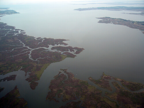
Monie Bay and Wicomico River
The mouth of Monie Creek enters Monie Bay, which meets with the Wicomico River and out to Tangier Sound
aerial Monie Bay Little Creek Little Monie Creek creek marsh mouth Chesapeake Bay National Estuarine Research Reserve NERR Somerset County Marylandwetlands protected area Deal Island Wildlife Management| Property | Value |
|---|---|
| Author(s) | Ben Fertig |
| Author Company | Integration and Application Network |
| Date Created | 2008-05-01 |
| Album | Ecosystems > Coastal/Marine |
| Type | Photo |
| Dimensions | 3264 x 2448 |
| Filesize | 4.1 MB |
| Number of Downloads | 286 |
| Filetype(s) | JPG |
| License | Attribution-ShareAlike 4.0 International (CC BY-SA 4.0) |
| Required Attribution | Ben Fertig, Integration and Application Network (ian.umces.edu/media-library) |