

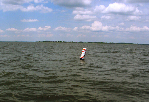
Oyster sanctuary marker
Large buoys like these mark the boundaries of Oyster Sanctuaries for restoration of the native species in Chesapeake Bay.
monie bay Somerset County MarylandNERR Chesapeake Bay National Estuarine Research Reserve oysters oyster reef sanctuary restoration buoy protected area marker keep out| Property | Value |
|---|---|
| Author(s) | Hilary Stevens |
| Date Created | 2008-07-01 |
| Album | Human > Management/Restoration |
| Type | Photo |
| Dimensions | 1828 x 1254 |
| Filesize | 428.9 kB |
| Number of Downloads | 224 |
| Filetype(s) | JPG |
| License | Attribution-ShareAlike 4.0 International (CC BY-SA 4.0) |
| Required Attribution | Hilary Stevens (ian.umces.edu/media-library) |