

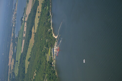
Horn Point Laboratory
Dock construction at Horn Point Laboratory
aerial Cambridge Chesapeake Bay Choptank River Dorchester County Eastern Shore estuary forest Horn Point Laboratory landuse Marylandtrees UMCES University of Maryland Center for Environmental Science| Property | Value |
|---|---|
| Author(s) | Jane Thomas |
| Author Company | Integration and Application Network |
| Date Created | 2009-07-02 |
| Album | Human > Development/Infrastructure |
| Type | Photo |
| Dimensions | 2336 x 3504 |
| Filesize | 1.2 MB |
| Number of Downloads | 289 |
| Filetype(s) | JPG |
| License | Attribution-ShareAlike 4.0 International (CC BY-SA 4.0) |
| Required Attribution | Jane Thomas, Integration and Application Network (ian.umces.edu/media-library) |