South East Queensland Floods 2011
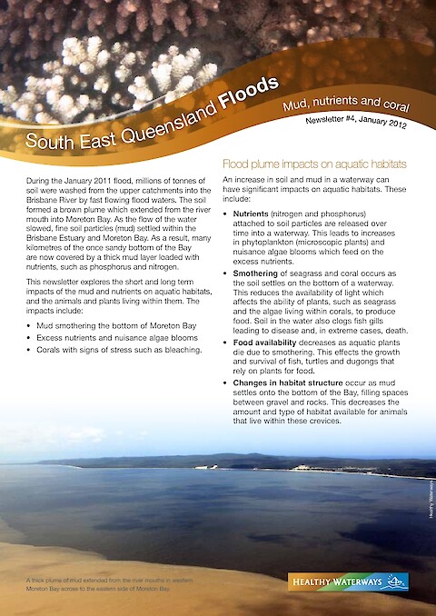
During the January 2011 flood, millions of tonnes of soil were washed from the upper catchments into the Brisbane River by fast flowing flood waters. The soil formed a brown plume which extended from the river mouth into Moreton Bay. As the flow of the water slowed, fine soil particles (mud) settled within the Brisbane Estuary and Moreton Bay. As a result, many kilometres of the once sandy bottom of the Bay are now covered by a thick mud layer loaded with nutrients, such as phosphorus and nitrogen. This newsletter explores the short and long term impacts of the mud and nutrients on aquatic habitats, and the animals and plants living within them. The impacts include: mud smothering the bottom of Moreton Bay, excess nutrients and nuisance algae blooms, corals with signs of stress such as bleaching.
Keywords: