Chesapeake & Ohio Canal National Historical Park
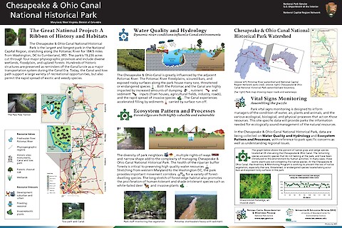
The Chesapeake & Ohio Canal National Historical Park is the largest and longest park in the National Capital Region, stretching along the Potomac River for 184.5 miles from Washington, DC to Cumberland, MD. The park's 19,236 acres cut through four major physiographic provinces and include diverse wetlands, floodplain, and upland forests. Hundreds of historic structures are preserved as reminders of the Canal's role as a major transportation system during the Canal Era. Today, the Canal and tow path support a large variety of recreational opportunities, but also permit the rapid spread of exotic and weedy species.
Keywords: