Skip to main content
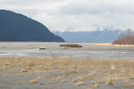
Alaskan mudflats
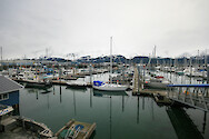
Boat harbor
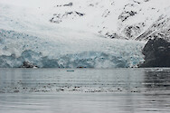
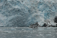
Holgate Glacier
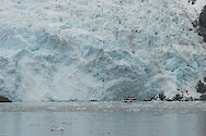
Holgate Glacier 2
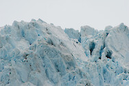
Holgate Glacier 3
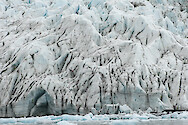
Holgate Glacier 4
Holgate Glacier 5
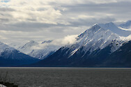
Kenai Mountains and Turnagain Arm
Oreamnos americanus (Mountain Goat)
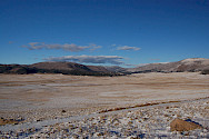
Basin of the Valles Caldera outside Santa Fe, NM
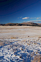
Basin of the Valles Caldera outside Santa Fe, NM…
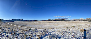
Valles Caldera outside Santa Fe, NM
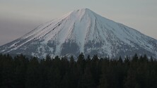
Mount McLoughlin (Cascade Range) with Sandhill…
Historical, predevelopment conditions in the…
Coast to coast USA 2D
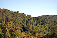
Forest density in Shenandoah National Park…
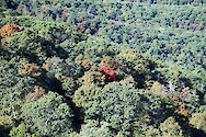
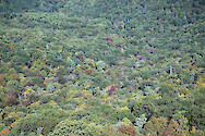
Forest diversity in Shenandoah National Park…
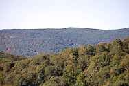
Forest of Shenandoah National Park, Virginia
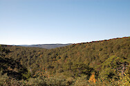
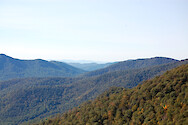
Mountains of Shenandoah National Park, Virginia
Shenandoah National Park, Virginia
Shenandoah National Park, Virginia
Fiji: Lami Town
Watershed 3D: river mouth, continental islands…
Watershed 3D: river mouth, continental islands…