IAN is committed to producing practical, user-centered communications that foster a better understanding of science and enable readers to pursue new opportunities in research, education, and environmental problem-solving. Our publications synthesize scientific findings using effective science communication techniques.
Wu W, Wang Z, Zhang YJ, Shen J, Tian R, Linker LC, and Cerco CF ·
Estuaries, as transitional zones between land and ocean, exhibit highly nonlinear, cross-scale hydrodynamic processes that present substantial challenges for numerical modeling. Using Chesapeake Bay as an example, we demonstrate a physically based calibration procedure with observation-derived parametrizations, together with a high-resolution unstructured model without bathymetry smoothing.
Duffy JE, Appeltans W, Benson A, Connolly RM, de la Torre-Castro M, Dierssen HM, Fortes MD, Fourqurean JW, Hessing-Lewis M, Jarvis JC, Kenworthy WJ, Krause JR, Lopez AL, Lefcheck JS, Lizcano-Sandoval L, Lonneman M, McKenzie L, Muller-Karger FE, Nakaoka M, Nordlund LM, Provoost P, Roelfsema CM, and Unsworth RKF ·
To effectively manage and protect ocean life and the people who depend on it, we need coordinated, comparable observations of ocean biodiversity. Seagrass cover and composition is an essential ocean variable (EOV) of the Global Ocean Observing System because seagrasses are the foundation of coastal ecosystems worldwide, and support diverse marine life and ecosystem services.
As water-quality challenges intensify, the widely used Weighted Regressions on Time, Discharge, and Season (WRTDS) method offers an adaptable and practical framework for global water-quality science and management.
Efforts to constrain the negative environmental impacts of excess nitrogen (N) and phosphorus (P) are costly and challenging, due in part to inconsistent reporting of nutrient sources at temporal and spatial scales relevant for local decision making.
Pan Y, Zhang Z, Cheng Z, Pan Z, Zhou J, Hu M, Zhang Q, and Chen D ·
Vegetated buffer strips (VBS) are widely used to mitigate agricultural non-point source pollution yet reported retention efficiencies vary considerably across different landscapes. We synthesized 409 observations extracted from 91 peer-reviewed publications to evaluate critical determinants of VBS retention efficiency for agricultural runoff, focusing specifically on total nitrogen (TN), total phosphorus (TP), and total suspended solids (TSS).
Wang Z, Zhang YJ, Shen J, Testa JM, Cerco C, Linker L, Tian R, and Wu W ·
In previous water quality modeling studies in Chesapeake Bay, the severity of summer hypoxia tended to be underestimated in the mid-lower Bay area. The underlying reason has not been well understood. In this study, we test a new hypothesis with respect to the estuary–ocean exchange.
Laumann KM, Hoad NM, Alvaro
L, Badri SL, Burke N, Carew A, Corte GN, Croquer
A, Shah Esmaeili Y, Farrell M, Kouchi N, Lee J,
Nakaoka M, Nordlund LM, Sellares-Blasco RI,
Sheldon E, Villalpando MF, and Lefcheck JS ·
Parachute science is the problematic and extractive practice of non-local researchers taking data, knowledge and information from communities of which they are not members, failing to engage the local community and local scientists, marginalizing them in most aspects of the research, and using the results to their own benefit.
Hardison, SB, Lefcheck JS, White SB, Liang M, Zhang YS, Patrick CJ, and Scheld AM ·
Biodiversity can confer temporal stability to ecosystem processes through asynchrony in species' abundances and may promote asynchrony and stability of commercial fishing harvests derived from exploited species. However, the linkages between asynchrony in the population dynamics of commercially harvested species and asynchrony of associated harvests have been difficult to resolve due to ecological, social, and economic dynamics that mediate resource extraction.
River water quality degradation is a prevailing problem in coastal China with intensifying human-nature interaction. However, the spatial and temporal dynamics of water quality and their drivers remain poorly understood.
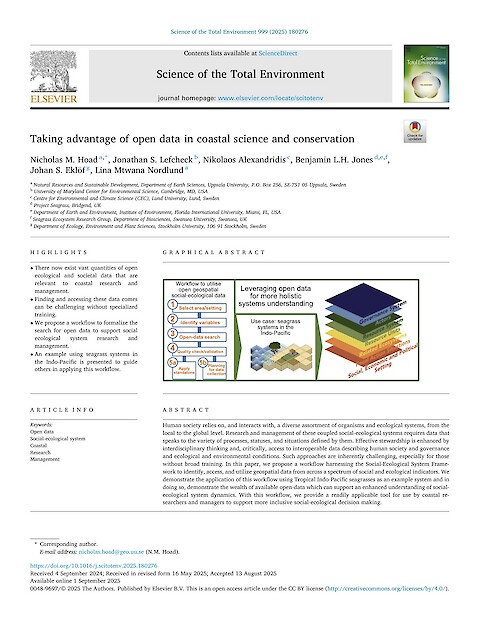
Hoad NM, Lefcheck JS, Alexandridis N, Jones BLH, Eklöf JS, and Nordlund LM ·
Human society relies on, and interacts with, a diverse assortment of organisms and ecological systems, from the local to the global level. Research and management of these coupled social-ecological systems requires data that speaks to the variety of processes, statuses, and situations defined by them. Effective stewardship is enhanced by interdisciplinary thinking and, critically, access to interoperable data describing human society and governance and ecological and environmental conditions.