Skip to main content
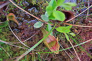
Pitcher plant, Orono, Maine
Pitcher plant, Orono, Maine
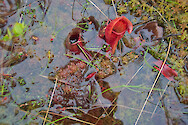
Pitcher plants, Orono bog, Orono, Maine
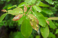
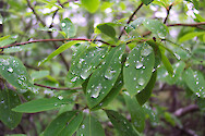
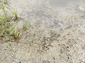
Raindrops, Orono, Maine
Raindrops, Orono, Maine
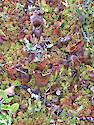
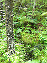
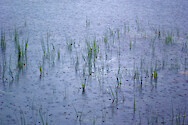
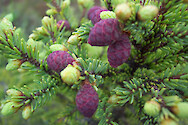
Regular vegetation, Orono bog, Maine
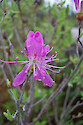
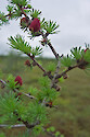
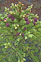
Rhodora, Orono, Maine
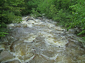
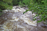
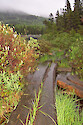
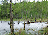
Roaring Brook, Baxter State Park, Maine
Roaring Brook, Baxter State Park, Maine
Roaring Brook, Baxter State Park, Maine
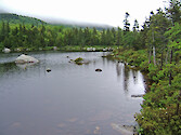
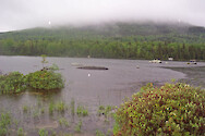
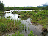
Sandy Stream Pond, Baxter State Park, Maine
Sandy Stream Pond, Baxter State Park, Maine
Sandy Stream Pond, Baxter State Park, Maine
Sandy Stream Pond, Baxter State Park, Maine
Sandy Stream Pond, Baxter State Park, Maine
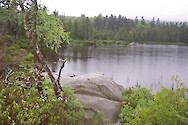
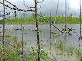
Stump Pond, Baxter State Park, Maine
Stump Pond, Baxter State Park, Maine
Stump Pond, Baxter State Park, Maine
Stump Pond, Baxter State Park, Maine
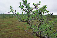
Stunted pine tree in Orono bog, Orono, Maine
Stunted pine tree in Orono bog, Orono, Maine
Stunted pine tree in Orono bog, Orono, Maine
Stunted pine tree in Orono bog, Orono, Maine
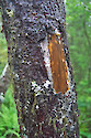
Tree trunk, Orono, Maine