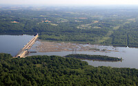
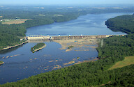
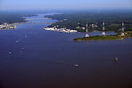
Conowingo Dam, Susquehanna River
Conowingo Dam, Susquehanna River
Conowingo Dam, Susquehanna River
Conowingo Dam, Susquehanna River
Conowingo Dam, Susquehanna River
Deep Creek
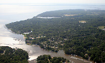
Magothy River
Mill Creek
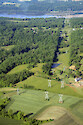
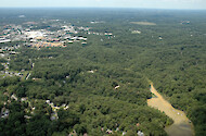
Power line right-of-way
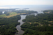
Severn River
Acer pseudoplatanus (Sycamore Maple)
Kalmia latifolia (Mountain Laurel)
Kalmia latifolia (Mountain Laurel) flowers
Liquidambar styraciflua (Sweetgum)
Liriodendron tulipifera (American Tulip Tree)
Quercus falcata (Southern Red Oak)
Picea glauca (White Spruce)
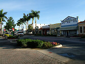
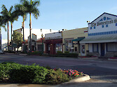
Main Street, Homestead, FL
Main Street, Homestead, Florida
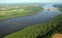
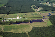
Flooded farm fields
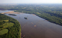
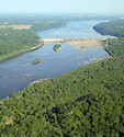
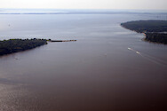
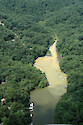
Runoff plume
Runoff plume
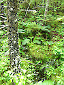
Regular vegetation, Orono bog, Maine
Vegetation, Orono, Maine