Skip to main content
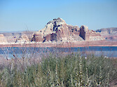
Lake Powell
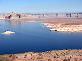
Lake Powell
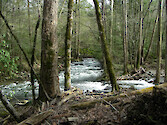
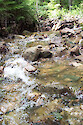
Great Smoky Mountain stream
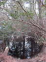
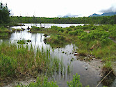
freshwater pond
Stream 3D: eroding banks
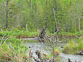
Stump Pond, Baxter State Park, Maine
Acadia National Park, Maine
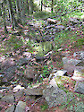
Maine stream
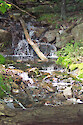
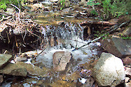
Stream, Acadia National Park, Maine
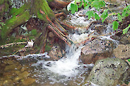
Stream, Acadia National Park, Maine
Stream, Acadia National Park, Maine
Stream, Acadia National Park, Maine
Stream, Acadia National Park, Maine
Stream, Acadia National Park, Maine
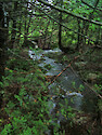
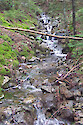
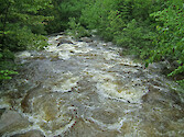
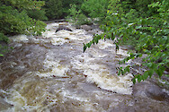
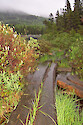
Roaring Brook, Baxter State Park, Maine
Roaring Brook, Baxter State Park, Maine
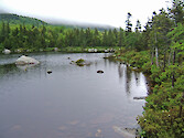
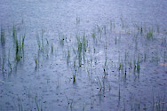
Sandy Stream Pond, Baxter State Park, Maine
Sandy Stream Pond, Baxter State Park, Maine
Sandy Stream Pond, Baxter State Park, Maine
Sandy Stream Pond, Baxter State Park, Maine
Sandy Stream Pond, Baxter State Park, Maine
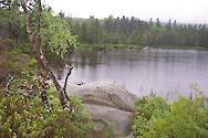
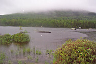
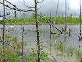
Stump Pond, Baxter State Park, Maine
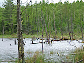
Stump Pond, Baxter State Park, Maine
Stump Pond, Baxter State Park, Maine