A visit to Bhitarkanika National Park, Odisha, India
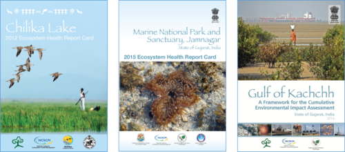
Heath Kelsey · | Environmental Report Cards |In 2014 IAN visited India to help the Ministry of Environment and Forests develop the Chilika Lake Report Card in Odisha, and a Report Card for the Jamnagar Marine National Park and a Cumulative Environmental Impact Assessment for the Gulf of Kachchh in Gujarat.
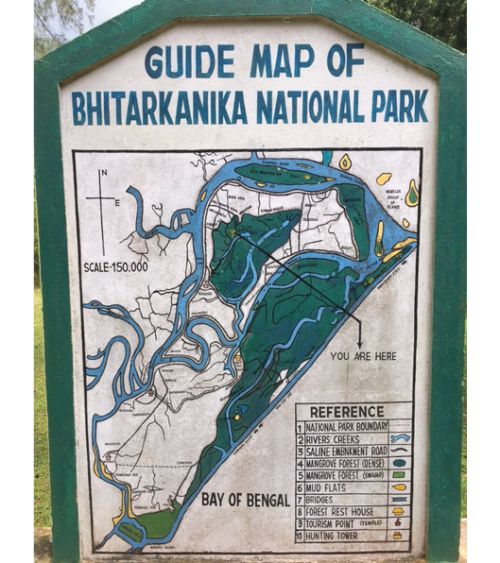
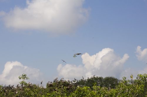
This time we are back to Odisha, to Bhitarkanika National Park, in the northern part of the state. The area is known for its mangroves and associated wildlife, including herons, monitor lizards, crocodiles, sea turtle nesting beaches, and king cobras. It boasts a very high diversity of mangroves (64 species) and a near pristine enclave of wildlife. Access to the park is extremely restricted - advance registration and permission is required even to visit the park - and because of that, there has been very little human influence.
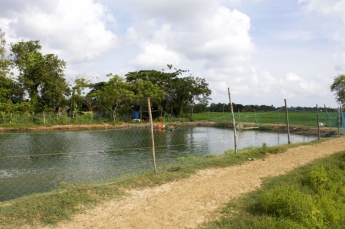
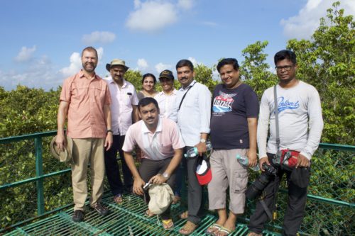
I met with our ministry partners and their wonderful team of young scientists and graduate students to get a first hand look at the system and develop new ways to integrate science into the management of the park. Although the park itself is a series of uninhabited and seldom visited islands, the surrounding sanctuary region has several hundred villages with rice farms, cattle, and aquaculture ponds. Future impacts to the mangrove forests and its wildlife will probably not be from within, but from these surrounding communities and from sea level rise and climate change related issues.
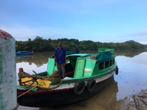
My visit to the park was hard but fascinating – the ride from Bhubaneswar to the park was about 6-hours long, which was followed by a late dinner at the canteen, and hasty retreat to bed for an early morning visit to the interior of the park. The park is an island of dense mangroves reachable only by boat, which we boarded at 6 am. We landed at a couple of spots within the park islands and tracked through paths in the dense mangroves and a bit of interior rainforest to the heron rookery. We saw saltwater crocodiles (largest being around 3 meters), birds and, although I didn't see it personally, a King Cobra.
The national park has been managed very well. The restricted access and remote location mean that very little human impact has occurred within the park itself. Still, the park has some unique and challenging issues. The road to the park and nearby villages was only completed in 2012, but more people are already moving to the area, bringing with them all of the pressures that human settlements have. People are also emigrating from Bangladesh, which is relatively close to the north. As populations in the area increase, the potential is high for freshwater management changes upstream in the rivers that supply Bhitarkanika its freshwater to create changes to the park ecosystems. Sea level rise and frequent cyclones also will liley have high impact to the ecosystem.
Our next steps will be to organize the first workshop to develop the Bhitarkanika National Park Report Card and to help create a science based management plan framework. Although the park has been managed well until now, future pressures to the park ecosystem will come from external sources. Both the park and sanctuary areas should be managed to protect the mangrove forest ecosystem and increase its resilience to these external pressures. We plan to work with the ministry develop and implement these projects over the next 5 years.
About the author
Heath Kelsey

Heath Kelsey has been with IAN since 2009, as a Science Integrator, Program Manager, and as Director since 2019. His work focuses on helping communities become more engaged in socio-environmental decision making. He has over 15-years of experience in stakeholder engagement, environmental and public health assessment, indicator development, and science communication. He has led numerous ecosystem health and socio-environmental health report card projects globally, in Australia, India, the South Pacific, Africa, and throughout the US. Dr. Kelsey received his MSPH (2000) and PhD (2006) from The University of South Carolina Arnold School of Public Health. He is a graduate of St Mary’s College of Maryland (1988), and was a Peace Corps Volunteer in Papua New Guinea from 1995-1998.