Colonial National Historic Park visit
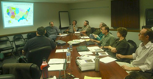
Bill Dennison · | Applying Science |A team from the Integration and Application Network traveled to Colonial National Historical Park on March 10-11 to initiate a Natural Resources Condition Assessment process over the next 18-24 months. The visit included a meeting with park personnel at the Yorktown Battlefield Visitors Center, followed by a tour of the entire park on the first day, and on the second day, we held a mini-symposium at the Virginia Commonwealth University's Rice Center on the James River. Colonial National Historical Park consists of Yorktown Battlefield on the York River, Jamestown on the James River, and Colonial Parkway, connecting Yorktown and Jamestown via historic Williamsburg.
Yorktown Battlefield: We learned that Yorktown Battlefield was actually the site of a siege, where General Cornwallis of the British army was forced to surrender to General George Washington of the American Continental Army. The French naval fleet successfully blockaded the mouth of Chesapeake Bay to prevent the British army to be re-provisioned in the fall of 1781. We saw the encampment sites of the American forces to the south and French forces led by the Marquis de Lafayette to the west where they pinned Cornwallis in Yorktown. In addition, we saw the Moore house where the British and American officers gathered to negotiate the British surrender. The Yorktown Battlefield consists of forested areas with grassy fields containing Revolutionary War redoubts which are man-made earthen berms created by soldiers for protection.
Colonial Parkway: Yorktown is connected to historic Williamsburg and Jamestown via the Colonial Parkway. The parkway is a three lane dark concrete road that runs along the York and James Rivers and crosses the peninsula with tunnels and bridges.
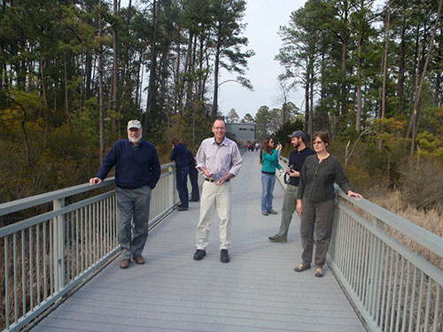
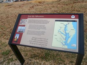
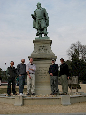
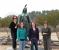
Jamestown: Jamestown Island, or Jamestowne as spelled by the National Park Service, is the site of the first permanent British colony in America. Jamestown Island was inhabited from 1607-1699, founded by Captain John Smith. We learned that Jamestown is an active archeological site from a docent on site who showed us photographs of the plates, coins, pieces of copper, and oyster shells collected in the archeological dig. We walked across a boardwalk over the 'pitch and tar' swamp, named for the pine trees that were used to tap and collect sap used for pitch and tar that the colonists used for boat construction and repair. The pitch and tar was mixed with straw and grass to caulk the seams of planks of their wooden boats. After the boardwalk, we toured the 'Old Town' and 'New Town' sections of Jamestowne where the colonists lived. There were statues of Pocahontas and Captain John Smith where we took photos of our female and male team members, respectively. We could see the first interactive buoy of the newly created Captain John Smith National Historic Trail offshore 'New Town'. We called the buoy to access weather and hydrological data and listen to short history segments.
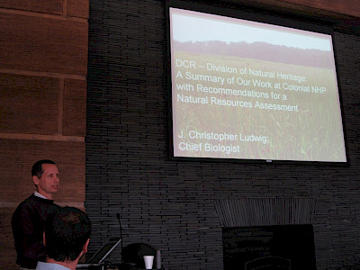
Mini-Symposium: The mini-symposium was held in the first LEEDs (Leadership in Energy and Environmental Design) Platinum certified green building in the Commonwealth of Virginia on a bluff overlooking the James River. We were able to use ambient light in a large conference room with a green roof. We had local experts from various Virginia state agencies and the Virginia Institute of Marine Science present their data and summarize the key processes and major threats of Colonial National Historical Park. We learned about the unique geology of Colonial National Historical Park, with alkaline and acidic freshwater wetlands, various wetlands (tidal marine, tidal freshwater, and non-tidal freshwater), rare species including the rare skipper butterfly, exotic and invasive species problems like Asian Stiltgrass and Phragmites, the hydrology of groundwater flow and the overall importance of sea level rise.

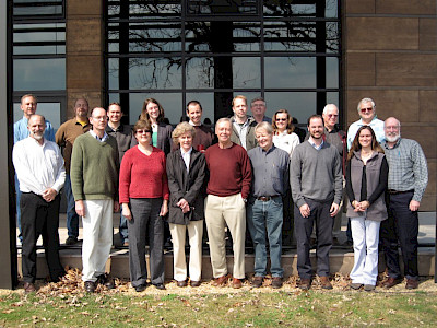
Over the coming months, we are looking forward to accessing the considerable data resources that exist for Colonial National Historical Park and developing conceptual diagrams that depict the various habitats in the park. We enjoyed the hospitality of Park Superintendent Dan Smith and Natural Resources Manager Dorothy Geyer and their staff. We also are looking forward to our ongoing collaboration with Dr. Todd Lookingbill, University of Richmond. Dr. Charley Roman and the Inventory & Monitoring Program staff of the National Park Service based at the University of Rhode Island also participated and will be part of the team working on this Natural Resource Condition Assessment.
About the author
Bill Dennison

Dr. Bill Dennison is a Professor of Marine Science and Vice President for Science Application at the University of Maryland Center for Environmental Science.
