Combating climate change in the floating city
Brianne Walsh ·Last month, while on vacation in Italy, I had the opportunity to visit the aptly nicknamed “floating city”, Venice. For thousands of years, life in Venice has centered around water, reliant on the sea, lagoon and canals for protection, transportation, and livelihoods, and today those waters threaten to engulf the city. During a walking tour of Venice, we were able to venture off the beaten path, and learn a bit more about the engineering, and problems facing this magnificent city.
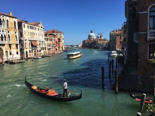
Founded in the 4th century AD, Venice’s settlers chose the marshy islands just off the Adriatic coast of Italy to escape attacks by barbarians. The city sits on a group of over 100 small islands, separated by canals and linked by more than 400 bridges. Since the founding of their city, Venetians have adapted to life in a lagoon. The foundations of Venice are built upon thousands of wooden piles, driven deep into the clay soils of the islands--an underwater forest. Today, these piles are still intact (now petrified wood), due to years submerged in low oxygen conditions, where microbes couldn’t begin the process of decomposition. Underground cisterns and wells were built throughout the city to capture rainwater to use for drinking water. The diversion of several rivers reduced the amount of sediment deposited in the Venetian lagoon, and sea walls protected the ancient Venetian Republic from flooding. However today, the city of Venice is still under attack, as it’s citizens work to combat rising sea levels.
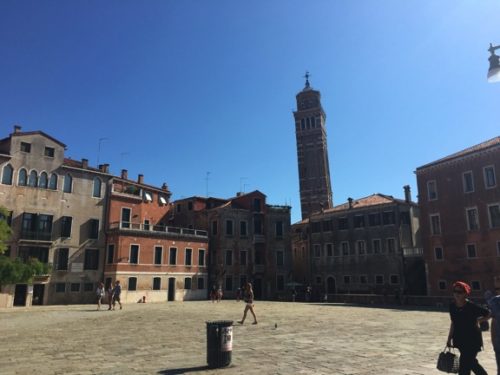
Sea level rise, coupled with subsidence, have made Acqua Alta, or “high water” a regular occurrence within the city. Due to shifting plate tectonics, the ground underneath Venice is subsiding. In the 1900’s, groundwater was extracted from the aquifer underlying Venice. When researchers realized groundwater use was accelerating subsidence, wells were capped, and the rate of subsidence decreased. While subsidence has been reduced, it continues to threaten the city. Today, Venice is settling at a rate of about four inches per century1.
The frequency of Acqua Alta events continues to rise as climate change exacerbates sea level rise. Our guide, a native of Venice recalled that when he was younger, it was nearly impossible to see St. Mark’s square flooded, but currently, it floods more than 60 times a year. The worst flood in Venice’s history occurred in 1966, when the tide in St. Mark’s square reached chest height. During that flood, 97% of Venice was under water.
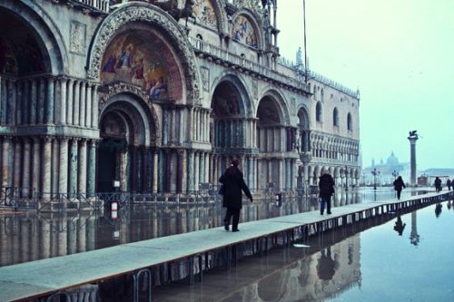
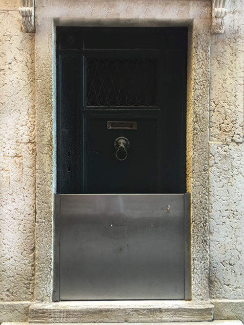
The residents of Venice have adapted to the floods, sirens sound a warning throughout the city when a high tide is forecasts, and updates are provided in real-time via the web and mobile telephones2. Metal barriers are placed in front of doorways, and wood walkways are constructed to traverse the streets. However, rising tides, and brackish water are starting to impact the infrastructure of Venice.
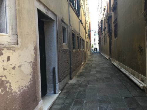
The Italian government is working to solve the problem of rising tides with the controversial Modulo Sperimentale Elettromeccanico (MOSE) project. The project name translates to Experimental Electromechanical Module, and MOSE, the Italian word for Moses, alludes to the biblical figure who parted the Red Sea. The $6.7 billion MOSE project includes a series of steel barriers constructed at the three inlets linking the lagoon to the Adriatic Sea. The barriers will lie on the sea floor, and during high tide conditions (forecast to exceed 3.6 feet above average sea level), the gates will raise to block incoming floodwaters. While costly, opponents of the project are concerned with potential impacts to the lagoon ecosystem--will a potential reduction in tidal flushing during periods that the gates are up negatively impact water quality and biodiversity within the lagoon? The MOSE project is slated for completion in 2018. Until then, and for hundreds of years following, the people of Venice will maintain their resilient, and dependent relationship with the tides, but it is yet to be seen how much Acqua Alta will consume the city.
1 Antonia Windsor. “Inside Venice’s bid to hold back the tide”. 16 June 2015.
2 Amy Laskowski. “Lessons from Venice”. Bostonia. Fall 2014.
Next Post > Mekong Flooded Forest – a sneak peek at a Future Card
Comments
-
Bill Nuttle 9 years ago
Great blog, Brianne.

