Hawaii ecodrought workshop; trade wind invasions, ridge to reef, endemic species
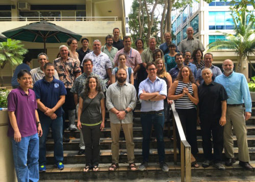
Bill Dennison · | Applying Science | 1 commentsOn 7-8 March, Simon Costanzo and I facilitated an ecodrought workshop at the University of Hawaii at the main campus in Manoa, a suburb of Honolulu. Our host was the Pacific Islands Climate Science Center, headed by Dave Helweg. This Climate Science Center has a huge swath of territory to cover, including American Samoa, the Marshall Islands, Guam, Palau and a host of isolated atolls (e.g., Johnstone, Palmyra). For the purposes of this workshop, we focused on the main Hawaiian islands, as we hope to have another workshop focused on other island territories including the Caribbean and the Pacific islands.
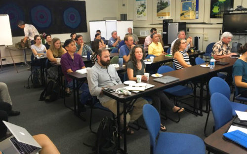
This was the seventh of eight USGS Climate Science Center ecodrought workshops that we have run at Climate Science Centers around the country. Before this workshop, I had no idea that Hawaii, which has some of the wettest places in the nation, would have serious drought issues. I learned about the dramatic water availability gradients due to changes in elevation and differences in exposure to the Northeast trade winds. The long term data sets on precipitation and streamflows clearly showed a long term trend of drying over the past five hundred years with an accelerated rate of drying over the past 160 years. We learned about the increasing occurrence and severity of forest fires. And finally, we learned about the significant ecological effects of ecodrought on the unique flora and fauna of the Hawaiian islands.
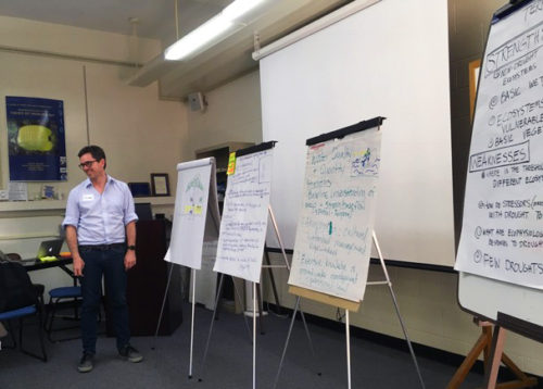
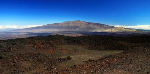
We started off the workshop with a wonderful big picture talk by Tom Giambelluca from the University of Hawaii's Geography Department. Tom explained the importance of the global air circulation cells (Hadley cells) which originate by solar heating of air at the equator, which flows away from the equator and toward the poles, and then descends at about 30 degrees latitude. The Hawaiian islands range from 18-22 degrees North latitude, thus they are in a zone of descending dry, cool air. But when the warm, moist trade winds encounter the mountains of the Hawaiian islands, they rise up the side of the mountains, leading to cooling and condensation (called orographic clouds). Then the warm, moist trade winds heading up encounter the cool, dry air heading down, creating a sharp divide. This is called the Trade Wind Inversion and it occurs at around 7,000' elevation. Clouds are abruptly cut off and the mountain tops are rather cool and dry. A cloud forest is formed in the cloud layer in which trees intercept the moisture in the clouds. It makes sense that the telescopes are located on the top of Mauna Loa and Mauna Kea, which are ~14,000', well above the Trade Wind Inversion. These telescopes enjoy cloud free nights for viewing stars.
Delwyn Oki clearly explained the complex hydrology of the Hawaiian islands. The volcanic nature of the islands results in impermeable vertical dikes which serve to impound groundwater, leading to discontinuous groundwater levels. Where this impounded groundwater intercepts the surface of the mountains, springs are formed, leading to discharges that provide baseflow for Hawaiian streams. Delwyn explained that changes in precipitation can influence the rates of groundwater recharge and discharge. The trend is for reduced streamflow, threatening some of the rare and endangered stream animals.
Abby Frazier enthusiastically showed us the five hundred year reconstruction of precipitation in Hawaii, which was a sobering graph. The overall trend is for reduced rainfall and this trend over the past 160 years is accelerating. Abby also showed maps of drought on the islands, with the drought prone areas in the leeward sides of the islands expanding. She produces drought risk maps which provide important information for resource managers.
Lenore Ohye and Neal Fuji from the Hawaiian Commission on Water Resource Management talked to us about the regional water shortage plans for the four counties that comprise Hawaii. The Water Commission is taking measures to conserve water, including lining the reservoirs to reduce loss and repairing the ditches used to translocation water from one watershed to another. I appreciated the Hawaiian approach to water rights, unlike the western continental United States in which water rights are strongly driven by the people who first started using the water, leading to disincentives for wise water stewardship.
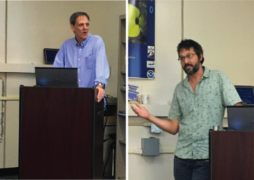
Clay Trauernicht talked about forest fires, beginning with the fire triangle of conditions that promote fire: climate (drought), vegetation (fuel) and ignition. He showed us some surprising data about the increasing trend of forest fires in Hawaii. The area burned by forest fires is clearly responsive to El Niño years, with low area burned in strong La Nina and high area burned in strong El Niño.
Rhonda Loh told us about the difficulty of managing natural resources in the Hawaii Volcanoes National Park. The rangers have the challenge of managing natural resources that are affected by invasive rodents and ungulates, invasive plant species, extreme weather events, and forest fires.
Elliott Parsons introduced us to the Pu'u Wa'awa'a Conservation Area. Elliott told the story of his arrival in 2010 in the midst of a severe drought and raging forest fires. He was able to show us photographs of the drought landscapes from 2010 and contemporary photos of revegetated landscapes. His photos provided hope for restoration ecology following drought.
These speakers provided great explanations of complex problems.
About the author
Bill Dennison

Dr. Bill Dennison is a Professor of Marine Science and Vice President for Science Application at the University of Maryland Center for Environmental Science.
Next Post > The first thing people ask: Where is Guam, anyway?
Comments
-
Mt. Damavand 9 years ago
Veery descriptive article, I liked that bit.Will there be a part 2?