Salt marshes and Superfund sites – a trip to coastal Georgia
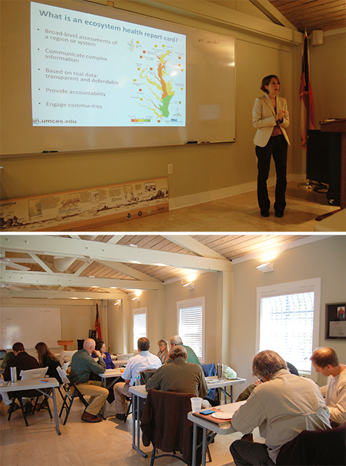
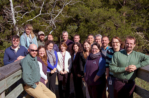
Caroline Donovan · | Environmental Report Cards |Alex Fries and I traveled to Brunswick, Georgia to facilitate a workshop on a coastal Georgia report card for the Georgia Department of Natural Resources’ Coastal Resources Division. Where is Brunswick, Georgia, you ask? Brunswick is approximately 1 hour north of Jacksonville, FL off the I-95 corridor.

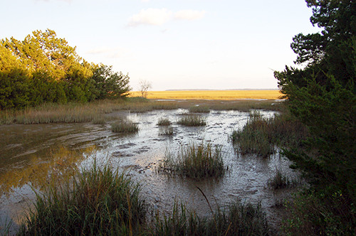
We learned a lot about the coastal Georgia ecosystem, especially the extensive salt marsh system that stretches from Savannah in the north to the Georgia-Florida border in the south. The shape of Georgia contributes to the large tidal range (average 6 feet, spring tides as high as 10 feet), which feeds the salt marshes. Barrier islands speckle the coastline, as well, protecting the marshes from storms and sea level rise. These natural ecosystems have led to abundant fish, shrimp, and crustacean populations.

Coastal Georgia is largely unpopulated except the Savannah greater metropolitan area. After Savannah, Brunswick, with a population of 15,000, is the next largest city. However, there is a large tourism sector that brings many Georgia and out-of-state people to the coast during the summer holidays. Jekyll Island and Tybee Island are just two of many well-known barrier islands that cater to summer guests.

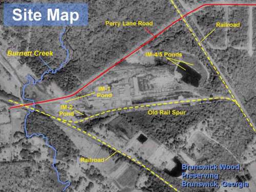
While at the workshop, we tried to articulate the key features, issues, and threats for coastal Georgia and were pleasantly surprised to hear that there are large swaths of natural areas and that conservation areas continue to expand. There are a few military bases in the coastal region as well as pine plantations. But, the most important threat to the area is toxic contaminants from ship building and factories that clustered around the Port of Brunswick. The Port of Brunswick is a major port in the United States, focusing on automobile industry shipping. However, in World War II liberty ships were built here and the port thrived as commerce came to the area. Several Superfund sites exist in Georgia and fish and marine mammal tissue contaminants remain very high. The Brunswick Wood Preserving Superfund Site, for example, was a facility that treated wood using creosote, pentachlorophenol (PCP), and chromium/copper/arsenic. As of 2011, the U.S.EPA was halfway through cleanup of this site.

Development potential is a future concern, but currently development continues to occur in isolated populated centers, leaving the rest of coastal Georgia a rural landscape with few direct impacts to the ecosystem. Admittedly, toxic contaminants will take a while to breakdown naturally, but are being contained and managed by the federal government. At the end of the workshop, Alex and I left feeling hopeful about the state of coastal Georgia’s resources.

About the author
Caroline Donovan

Ms. Caroline Donovan oversees program and project management, science communication, and data analysis at UMCES-IAN. She has over 15 years of experience with ecosystem health report cards, science communication products, stakeholder engagement, and citizen science and volunteer monitoring. Ms. Donovan has worked extensively in the fields of science integration and communication, facilitation, and program management and administration. Ms. Donovan received a Bachelor of Science in Biology from University of North Carolina - Wilmington in 2002 and a Master of Science in Biological Oceanography from University of Maryland - College Park in 2005.