Trip to NASA Goddard Space Flight Center; 29 March 2010
Bill Dennison · | Applying Science |"Perspectives on NASA/Goddard Space Flight Center Data and Modeling for Chesapeake Bay Research and Applications" workshop
NASA scientists initiated a meeting with Chesapeake Bay scientists to compare the remote sensing needs for Chesapeake Bay research, monitoring, modeling and management with the capabilities that NASA remote sensing programs can provide. The workshop goals were to coordinate NASA efforts on Chesapeake Bay, define some clear paths for partnerships, discuss future research opportunities and generate a workshop summary with specific recommendations. Over thirty people came together at Goddard Space Flight Center for the workshop.
Chesapeake Bay scientists presented an overview of their needs, focusing on obtaining data that is timely, frequent, accurate and with known variability (error terms). Some very fundamental questions remain unanswered and NASA products could help answer these questions.
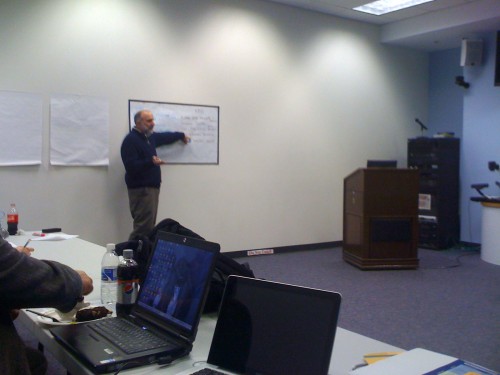
Three examples were articulated:
- The trends in nitrogen concentrations in streams throughout the Chesapeake watershed are declining (which is a good thing!), but the trends in the tributaries and the Bay are not always declining, and in some places increasing (which is a bad thing!). The real conundrum comes from the Bay-wide declining water clarity, increasing chlorophyll levels and lack of improvement in low oxygen water; hypoxia/anoxia (which is a really bad thing!). Why are the trends in declining nitrogen in streams not resulting in better water quality in the Bay? NASA data from atmospheric sensors have identified significant urban sources of NOx from vehicle emissions that are delivered to the Bay and watershed via dry deposition not currently captured by the atmospheric monitoring network, which could partially resolve this discrepancy.
- The Bay Health Index, calculated from three water quality parameters (secchi depth, chlorophyll a, dissolved oxygen) and three biotic parameters (submerged aquatic vegetation, benthic index of biotic integrity, phytoplankton index of biotic integrity), in several Bay regions has been significantly improving, while in other Bay regions, has been significantly degrading. The reasons for these different trajectories, positive vs. negative, remain enigmatic, particularly for geographically adjacent regions such as the Upper Eastern Shore tributaries (degrading) and Upper Western Shore tributaries (improving). Some land use analyses using NASA products of the tributary watersheds could help answer the question of why different areas have different trajectories.
- There has been a Bay-wide decline in water clarity in the Bay, as measured by secchi depths. There is not enough increase in chlorophyll levels or total suspended solids to account for the water clarity decline. Several researchers are exploring this trend, but there is no consensus on the causal mechanism(s). NASA satellites that measure ocean color have detected light absorbance by dissolved compounds associated with salt marsh regions. As well, light attenuation can be assessed from satellites and a series of synoptic maps could help in determining the water clarity processes.
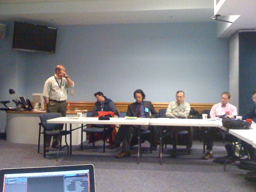
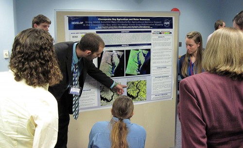
NASA scientists briefed the Chesapeake scientists about the 13-14 projects that they are conducting internally related to Chesapeake Bay. These projects included atmospheric, land and water remote sensing. NASA uses a wide variety of sensors on a diversity of aircraft and satellites and scientists derive a suite of different parameters and metrics from data obtained from these sensors. Following lunch on site, a series of posters were presented by students and scientists with some preliminary results of various analyses. An example was the winter ‘green-ness’ map which is used to delineate the application of winter cover crops on agricultural lands, one of the more effective and widespread Best Management Practices used in Chesapeake Bay restoration. While it was evident from the composite Landsat maps of imagery obtained in the winter months that there are large areas of the watershed that remain green during the winter, some areas were conifers (e.g., loblolly pines), some areas were salt marshes and these areas need to be factored out of the analysis. In addition, problems with cloud and snow cover obscuring the ground were noted. The initial results of these analyses are promising and further development of these wintertime composite Landsat maps will provide a powerful tool for interpreting the stream and bay health indicator values and trajectories.
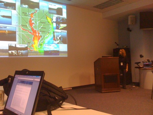
We also learned about some of the activities taking place at Wallops Flight Facility on Wallops Island, a NASA Goddard facility just south of Chincoteague Bay on the Atlantic seaboard. The message from the Wallops Island perspective was to not forget the major inputs into Chesapeake Bay via the coastal ocean. Development of some sophisticated sensors mounted on autonomous vehicles, as well as remote sensing data provide some insights into the important role that ocean processes have on adjacent estuaries like Chesapeake Bay. Thinking about Chesapeake Bay within a regional context which includes the coastal ocean was a good exercise.
It is clear that there are various spatial scales worth exploring regarding Chesapeake Bay, including the airshed scale, watershed scale, Bay scale, and coastal ocean scale, that no one scale suits all. Remote sensing data is particularly well suited to addressing multiple spatial scales.
One of the take home messages from the workshop was a need for continuing dialog between NASA scientists and Chesapeake Bay scientists and managers. NASA Goddard scientists have formed a working group and were invited to attend meetings at the Chesapeake Bay Program and Maryland BayStat as well as join the Scientific Technical Analysis Committee of the Chesapeake Bay Program.
About the author
Bill Dennison

Dr. Bill Dennison is a Professor of Marine Science and Vice President for Science Application at the University of Maryland Center for Environmental Science.