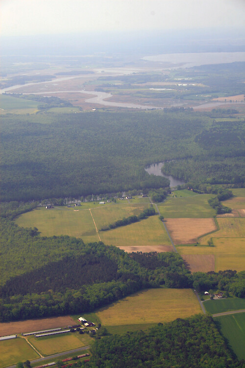
The Pocomoke River
Forests and fields surround the Pocomoke River as it makes its way to the Chesapeake Bay. Here it forms the border between Worcester and Somerset Counties
Chesapeake Bay Eastern Shore aerial tributary rural Delmarva tidal estuary MarylandSomerset County Worcester County farms fields forest agriculture| Property | Value |
|---|---|
| Author(s) | Jane Thomas |
| Author Company | Integration and Application Network |
| Date Created | 2008-05-01 |
| Album | Ecosystems > Coastal/Marine |
| Type | Photo |
| Dimensions | 2336 x 3504 |
| Filesize | 5.8 MB |
| Number of Downloads | 330 |
| Filetype(s) | JPG |
| License | Attribution-ShareAlike 4.0 International (CC BY-SA 4.0) |
| Required Attribution | Jane Thomas, Integration and Application Network (ian.umces.edu/media-library) |