Rogue River Basin Report Card
The first-ever Rogue River Basin Report Card
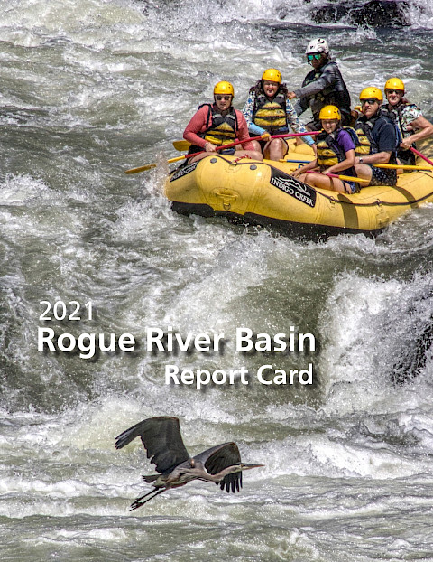
More than 7,000 years ago, the volcanic explosion of Mount Mazama in what is now southwestern Oregon led to the formation of Crater Lake. In present day, Boundary Springs bubbles out from the caldera of Crater Lake National Park, and it is here we can find the origin of one of Oregon’s major rivers, the Rogue River.
All of the more than 300,000 people living in the Rogue River Basin depend on a healthy watershed for high-quality drinking water, jobs, quality of life, and recreation. They also desire communities that offer resiliency, sustainability, and abundant fish and wildlife resources. Whether members of local communities realize it or not, their resiliency, sustainability, and quality of life all depend on healthy watersheds within the Rogue Basin. The first-ever Rogue River Basin Report Card communicates the value healthy watersheds contribute to communities while also highlighting actions that can be taken by individual community members to address the specific threats facing the Rogue Basin’s diverse ecosystems. This report card is a socio-environmental report card, meaning that it takes into account both the health of the ecosystem (environmental) and its community (societal), both of which are inextricably linked.
For more information, visit https://www.rogue-river-basin-report-card.com/
Keywords: