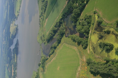
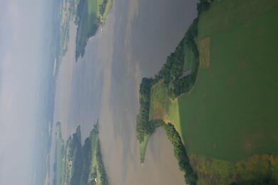
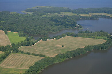
Chester River ... Small creek draining into the Chester River near Indian Town, Maryland ... aerial, agriculture, Chesapeake Bay, Eastern, Shore, estuary, farms, fields, forest,...
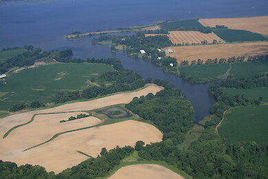
Chester River ... Chester River just east of Chestertown ... aerial, agriculture, Chesapeake Bay, Eastern, Shore, estuary, farms, fields, forest, Ke...
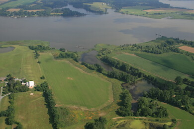
Chester River ... Chester River with Morgan Creek in the background, just east of Chestertown ... aerial, agriculture, Chesapeake Bay, Eastern, Shor...
Chester River ... Chester River just east of Chestertown ... aerial, agriculture, Chesapeake Bay, Eastern, Shore, estuary, farms, fields, forest, Ke...
Chester River ... Small creek draining into the Chester River near Indian Town, Maryland ... aerial, agriculture, Chesapeake Bay, Eastern, Shore, estuary, farms, fields, forest,...
Chester River ... Small creek draining into the Chester River near Indian Town, Maryland ... aerial, agriculture, Chesapeake Bay, Eastern, Shore, estuary, farms, fields, forest,...
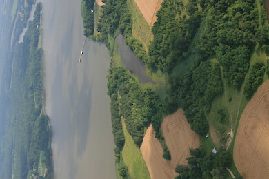
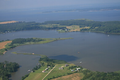
Chester River ... Grove and Reed Creeks, which drain into the Chester River ... aerial, agriculture, Chesapeake Bay, Eastern, Shore, estuary, farms, fields, forest, Kent County, landuse, Maryl...
Chester River ... Grove and Reed Creeks, which drain into the Chester River ... aerial, agriculture, Chesapeake Bay, Eastern, Shore, estuary, farms, fields, forest, Kent County, landuse, Maryl...
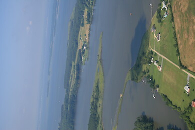
Chester River ... Reed Creek with the Chester River in the background ... aerial, agriculture, Chesapeake Bay, Eastern, Shore, estuary, farms, fields, forest, Kent Coun...
Chester River ... Reed Creek with the Chester River in the background ... aerial, agriculture, Chesapeake Bay, Eastern, Shore, estuary, farms, fields, forest, Kent Coun...
Chester River ... Reed Creek with the Chester River in the background ... aerial, agriculture, Chesapeake Bay, Eastern, Shore, estuary, farms, fields, forest, Kent Coun...
Chester River ... Christmas tree farm near Rolphs, Maryland on the Chester River ... aerial, agriculture, Chesapeake Bay, Eastern, Shore, estuary, farms, fields, forest, Kent County, landuse, Maryl...
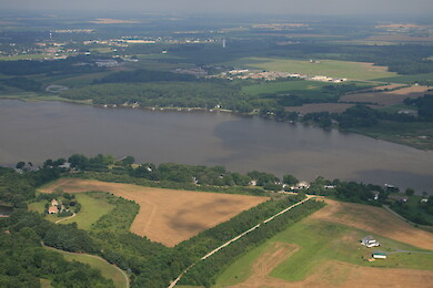
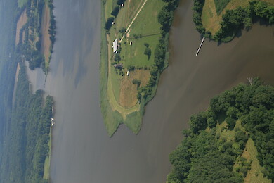
Chester River ... Marina on the Chester River in Rolphs, Maryland ... aerial, agriculture, Chesapeake Bay, Eastern, Shore, estuary, farms, fields, forest, Kent Co...
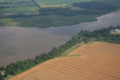
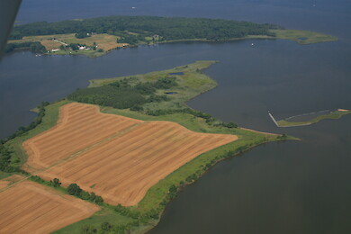
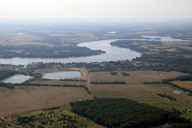
Chester River ... Southeast Creek (left) joining the Chester River south of Rolphs, Maryland ... aerial, agriculture, Chesapeake Bay, Eastern, Shore, estuary, farms, fields, forest, K...
Chester River ... Southeast Creek (left) joining the Chester River south of Rolphs, Maryland ... aerial, agriculture, Chesapeake Bay, Eastern, Shore, estuary, farms, fields, forest, K...
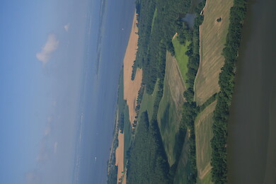
Chester River ... Looking across the Chester River from White Cover to Shippen Creek ... aerial, agriculture, Chesapeake Bay, Eastern, Shore, estuary, farms, fields, f...
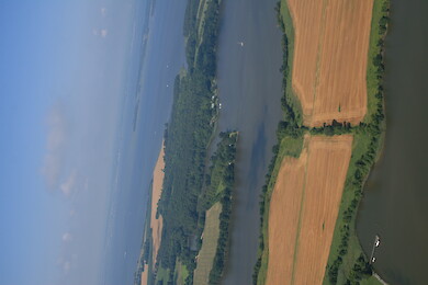
Chester River ... Reed Creek with the Chester River in the background ... aerial, agriculture, Chesapeake Bay, Eastern, Shore, estuary, farms, fields, forest, Kent Coun...
Chester River ... Reed Creek with the Chester River in the background ... aerial, agriculture, Chesapeake Bay, Eastern, Shore, estuary, farms, fields, forest, Kent Coun...
Chester River ... Reed Creek with the Chester River in the background ... aerial, agriculture, Chesapeake Bay, Eastern, Shore, estuary, farms, fields, forest, Kent Coun...
Chester River ... Tilghman Creek draining into the Chester River ... aerial, agriculture, Chesapeake Bay, Eastern, Shore, estuary, farms, fields, forest, Kent County, landuse, Maryl...
Chester River ... Small creek draining into the Chester River near Indian Town, Maryland ... aerial, agriculture, Chesapeake Bay, Eastern, Shore, estuary, farms, fields, forest,...
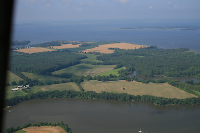
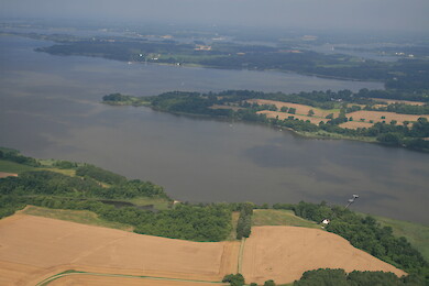
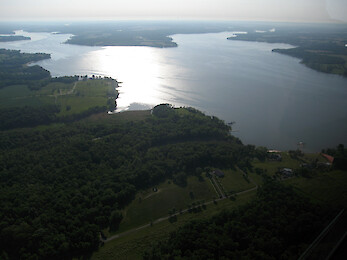
Chester River ... The Chester River with Comegys Bight in the background ... aerial, agriculture, Chesapeake Bay, Eastern, Shore, estuary, farms, fields...