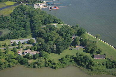
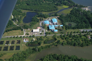
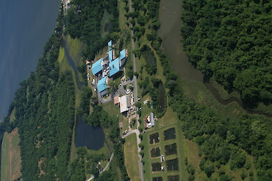
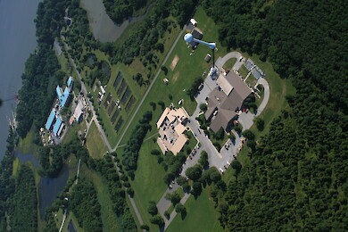
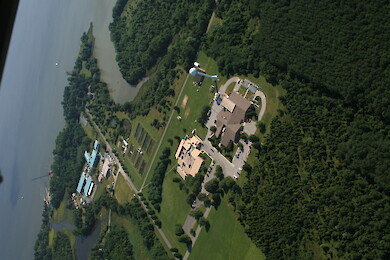
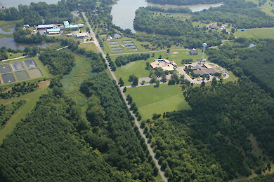
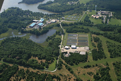
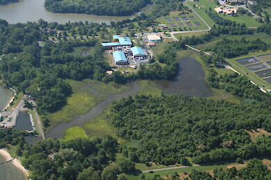
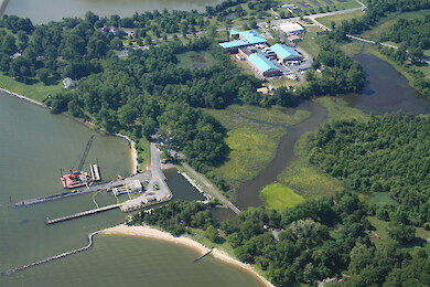
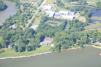
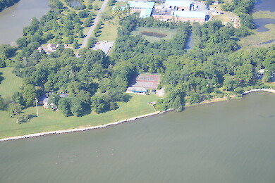
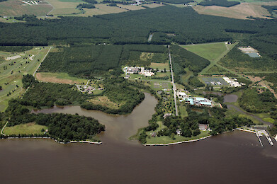
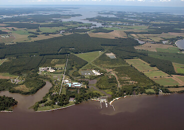
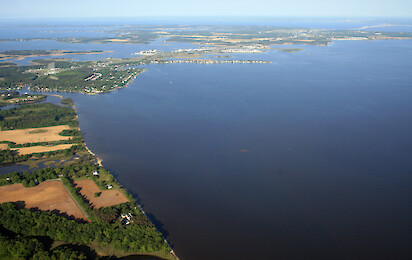
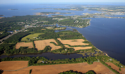
• All
  • People
  • Publications
  • Media Library
  • Blog Posts
  • Enewsletter Articles
  • All results

    281 results for "chester":

    • Horn Point Laboratory
      ...aryland Center for Environmental Science, Cambridge, Maryland ... aerial, Cambridge, Chesapeake Bay, Choptank River, Dorchester County, Eastern, Shore, estuary, forest, Horn Point Laboratory, landuse, Marylandtrees, UMCES, University of Maryland C...
    • Horn Point Laboratory
      ...aryland Center for Environmental Science, Cambridge, Maryland ... aerial, Cambridge, Chesapeake Bay, Choptank River, Dorchester County, Eastern, Shore, estuary, forest, Horn Point Laboratory, landuse, Marylandtrees, UMCES, University of Maryland C...
    • Horn Point Laboratory
      ...aryland Center for Environmental Science, Cambridge, Maryland ... aerial, Cambridge, Chesapeake Bay, Choptank River, Dorchester County, Eastern, Shore, estuary, forest, Horn Point Laboratory, landuse, Marylandtrees, UMCES, University of Maryland C...
    • Horn Point Laboratory
      ...aryland Center for Environmental Science, Cambridge, Maryland ... aerial, Cambridge, Chesapeake Bay, Choptank River, Dorchester County, Eastern, Shore, estuary, forest, Horn Point Laboratory, landuse, Marylandtrees, UMCES, University of Maryland C...
    • Horn Point Laboratory
      ...aryland Center for Environmental Science, Cambridge, Maryland ... aerial, Cambridge, Chesapeake Bay, Choptank River, Dorchester County, Eastern, Shore, estuary, forest, Horn Point Laboratory, landuse, Marylandtrees, UMCES, University of Maryland C...
    • Horn Point Laboratory
      ...aryland Center for Environmental Science, Cambridge, Maryland ... aerial, Cambridge, Chesapeake Bay, Choptank River, Dorchester County, Eastern, Shore, estuary, forest, Horn Point Laboratory, landuse, Marylandtrees, UMCES, University of Maryland C...
    • Horn Point Laboratory
      ...aryland Center for Environmental Science, Cambridge, Maryland ... aerial, Cambridge, Chesapeake Bay, Choptank River, Dorchester County, Eastern, Shore, estuary, forest, Horn Point Laboratory, landuse, Marylandtrees, UMCES, University of Maryland C...
    • Horn Point Laboratory
      ...aryland Center for Environmental Science, Cambridge, Maryland ... aerial, Cambridge, Chesapeake Bay, Choptank River, Dorchester County, Eastern, Shore, estuary, forest, Horn Point Laboratory, landuse, Marylandtrees, UMCES, University of Maryland C...
    • Horn Point Laboratory
      ...aryland Center for Environmental Science, Cambridge, Maryland ... aerial, Cambridge, Chesapeake Bay, Choptank River, Dorchester County, Eastern, Shore, estuary, forest, Horn Point Laboratory, landuse, Marylandtrees, UMCES, University of Maryland C...
    • Horn Point Laboratory
      ...aryland Center for Environmental Science, Cambridge, Maryland ... aerial, Cambridge, Chesapeake Bay, Choptank River, Dorchester County, Eastern, Shore, estuary, forest, Horn Point Laboratory, landuse, Marylandtrees, UMCES, University of Maryland C...
    • Horn Point Laboratory
      ...aryland Center for Environmental Science, Cambridge, Maryland ... aerial, Cambridge, Chesapeake Bay, Choptank River, Dorchester County, Eastern, Shore, estuary, forest, Horn Point Laboratory, landuse, Marylandtrees, UMCES, University of Maryland C...
    • Horn Point Laboratory
      ...aryland Center for Environmental Science, Cambridge, Maryland ... aerial, Cambridge, Chesapeake Bay, Choptank River, Dorchester County, Eastern, Shore, estuary, forest, Horn Point Laboratory, landuse, Marylandtrees, UMCES, University of Maryland C...
    • Horn Point Laboratory
      ...aryland Center for Environmental Science, Cambridge, Maryland ... aerial, Cambridge, Chesapeake Bay, Choptank River, Dorchester County, Eastern, Shore, estuary, forest, Horn Point Laboratory, landuse, Marylandtrees, UMCES, University of Maryland C...
    • Horn Point Laboratory
      ...aryland Center for Environmental Science, Cambridge, Maryland ... aerial, Cambridge, Chesapeake Bay, Choptank River, Dorchester County, Eastern, Shore, estuary, forest, Horn Point Laboratory, landuse, Marylandtrees, UMCES, University of Maryland C...
    • Horn Point Laboratory
      ...aryland Center for Environmental Science, Cambridge, Maryland ... aerial, Cambridge, Chesapeake Bay, Choptank River, Dorchester County, Eastern, Shore, estuary, forest, Horn Point Laboratory, landuse, Marylandtrees, UMCES, University of Maryland C...
    • Horn Point Laboratory
      ...aryland Center for Environmental Science, Cambridge, Maryland ... aerial, Cambridge, Chesapeake Bay, Choptank River, Dorchester County, Eastern, Shore, estuary, forest, Horn Point Laboratory, landuse, Marylandtrees, UMCES, University of Maryland C...
    • Horn Point Laboratory
      ...r, Cambridge, plumes, rain, sediment, Horn Point Laboratory, environmental, science, research, boats, farms, fields, Dorchester County ... Jane Thomas...
    • Horn Point Laboratory
      ...r, Cambridge, plumes, rain, sediment, Horn Point Laboratory, environmental, science, research, boats, farms, fields, Dorchester County ... Jane Thomas...
    • Horn Point Laboratory
      ...r, Cambridge, plumes, rain, sediment, Horn Point Laboratory, environmental, science, research, boats, farms, fields, Dorchester County ... Jane Thomas...
    • Horn Point Laboratory
      ...r, Cambridge, plumes, rain, sediment, Horn Point Laboratory, environmental, science, research, boats, farms, fields, Dorchester County ... Jane Thomas...
    • Kennedyville
      Kennedyville ... Kennedyville, Kent County, in the Chester River watershed ... aerial, agriculture, Chesapeake Bay, Eastern, Shore, estuary, farms, fields, forest, Kent County, l...
    • Kennedyville
      Kennedyville ... Kennedyville, Kent County, in the Chester River watershed ... aerial, agriculture, Chesapeake Bay, Eastern, Shore, estuary, farms, fields, forest, Kent County, l...
    • Kent Island and the Chester River
      Kent Island and the Chester River ... Looking north from the north shore of Kent Island over the mouth of the Chester River. Castle Marina is in the foreground. ... Chesapeake Bay, aerial, agriculture, farms, Chester River, shoreline ......
    • Kent Narrows
      ...and. The Kent Island bridge and Bay Bridge are visible. Eastern Bay is on the southern (left) side of Kent Narrows; the Chester River is on the northern (right) side. ... Chesapeake Bay, aerial, agriculture, farms, Chester River, shoreline ... Jan...
    • Kent Narrows
      ...rows to Kent Island. The Kent Island bridge is visible. Eastern Bay is on the southern (left) side of Kent Narrows; the Chester River is on the northern (right) side. ... Chesapeake Bay, aerial, agriculture, farms, Chester River, shoreline ... Jan...