Brisbane 2011: Living with Floods and Dancing with Dugongs: Part 1- Introduction
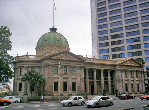
Bill Dennison ·A seminar entitled 'Brisbane 2011: Living with Floods and Dancing with Dugongs' was presented on 8 July 2011. The seminar was sponsored by the University of Queensland Global Change Institute, and delivered at the historic Customs House in downtown Brisbane, situated along the shore of the Brisbane River. The following fifteen part blog series captures the talk, the question/answer section and the actual 'Dancing with Dugongs'.

This is a great opportunity for me to wrap up my wonderful six months here in Queensland. And I’m going to do it by talking about two things; one is living with floods and second is dancing with dugongs. I’m going to talk about how Queensland floods offer an important and unique societal learning moment. With these 2011 floods, we have the opportunity to really get our waterways and our community to focus on where we’re living and how we’re coping. I also want to visit some global lessons about flood responses. There are lots of places where we can look to examples from around the world. I also want to talk about conservation icons and charismatic ecosystems, and how we have to move towards creating charismatic ecosystems. Also, I will touch upon developing sustainable models for the future, as I always want to end up with a grand vision. So that’s going to be my attempt today.

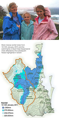
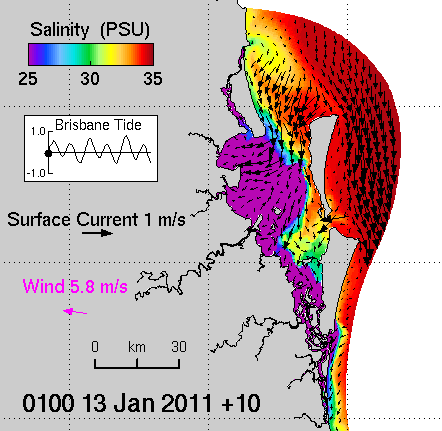
Let me start back at the beginning: we arrived on January ninth. We went straight over to Stradbroke Island and the next day it started to rain. And it rained, and it rained. And we watched this amazing event occur in the Lockyer Valley, the scary, awful event, and then, of course, the Brisbane River breaching its banks, causing the devastation. Jon Parslow at CSIRO and Tony McAlister at WBM put together a fantastic hydrodynamic model. We used to complain about the modeling in the early days of the Moreton Bay study; how it never worked, how it was always too expensive, and how it was 'under producing'. However, this time they really nailed it. The purple is the freshwater that’s coming out the river, and you're seeing the pulsing of the tides. You’ll see that the Brisbane River is really going out in the Waterloo Bay, Bramble Bay and Deception Bay, and out through the North Passage. This is pre-flood, watch the clock, you can see as time passes, it started to really rain and you see it coming out over the next couple days. Bits of the flood plume are heading south, but most of it is heading up to the north. This is a fantastic integration of model results. The model has been verified by the Department of Environment and Resource Management, who have done a good amount of quality testing.

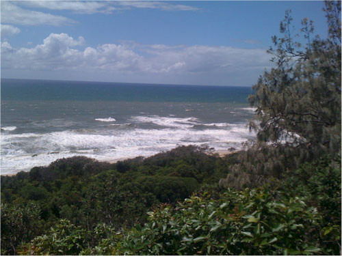
My location during the flood was on Stradbroke Island, so I did my own verifications and Judy O'Neil took this nice photo of ten days after the flood when we saw the brown water come seeping out through South Passage. So, in fact some of the flood does escape out through the South Passage but most of it, of course, went north.

This blog post was created from a presentation by Bill Dennison, delivered at the historic Customs House in Brisbane, Australia on 8 July, 2011 (full powerpoint presentation is available on IAN Press.
About the author
Bill Dennison

Dr. Bill Dennison is a Professor of Marine Science and Vice President for Science Application at the University of Maryland Center for Environmental Science.

