Developing a Mississippi River report card: Ohio River workshop in Cincinnati
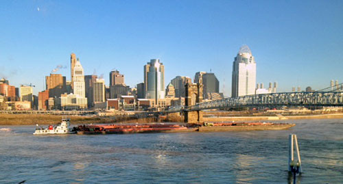
Bill Dennison · | Science Communication |A large IAN contingent gathered along the banks of the Ohio River for the second in a series of workshops designed to develop a report card for the Mississippi River. Heath Kelsey, Bill Nuttle, Caroline Wicks, Brianne Walsh and I collaborated with our colleagues at America's Watershed Initiative to run a workshop in a Covington, Kentucky hotel with fantastic views of the Ohio River, with the Cincinnati skyline as a backdrop. We could clearly see the Paul Brown Stadium where the Cincinnati Bengals play football and the Great American Ballpark where the Cincinnati Reds play baseball. The iconic John A. Roebling Bridge, built in 1866, spanned the Ohio River just in front of our conference room as well.

We watched a steady stream of barges either chugging upriver against the current or speeding downstream. Some of the barges were 1000 feet long with coal, gravel and oil cargo. Several of the workshop participants were from the barge industry and they provided knowledgeable commentary on the barge traffic. One of the memorable insights was the importance of water levels to maintain sufficient draft to fully load the barges - every inch of water depth translated into extra tonnages able to be shipped. The controlling depth maintained by the Army Corps of Engineers is 9 feet, but the Ohio River generally has 10 to 10.5 feet that allows more cargo than barges that go onto the Mississippi River which has shallower sections. Coming from Chesapeake Bay where the current controlling depth is 45 feet, and it is scheduled to be increased to allow for ships that will use the larger Panama Canal (Panamax), the Ohio River depths seem awfully shallow. Over the span of two days, we observed the river level drop nearly one foot, so we sympathized with the barges.
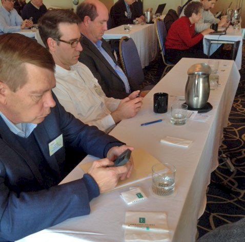
We employed a new technology in this workshop which was developed by Adrian Jones, the IAN web guru. Breakout groups established indicator lists and the survey tool allowed each participant to log into a web interface which the participants could drag and drop different indicators in order to create a ranked order of preference. In this way, we were able to quickly obtain results from both the expert groups as well as the participants with different expertise. Some indicators were highly preferred, but others were relatively equally ranked. We anticipate using his survey tool in other IAN workshops.
Even though I had grown up in Southwestern Ohio, I had never been aware of why Cincinnati was located where it is. It is not the confluence of rivers (like Dayton, Ohio), or a section of unnavigable river (like Louisville, Kentucky). It turns out that Cincinnati is located along a stretch of the Ohio River with high ground above the flood plain with a gentle slope to the north that wagons could negotiate. One of the major industries in Cincinnati is Proctor and Gamble, which got its start in the manufacturing of soap products. Cincinnati has a large slaughterhouse (it was called Porkopolis), and the pig fat was a major ingredient of soap.
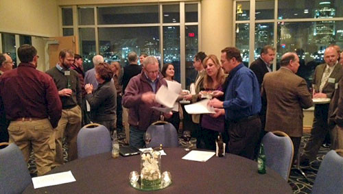
Bill Nuttle and I were able to catch up with former IAN Science Communicator, Emily Nauman, who is working with General Electric scientists and engineers to communicate science in Cincinnati. We met her in Mt. Adams, which is a mini-San Francisco with steep, narrow roads and great city and river views. I also enjoyed catching up with two people that I had met at various Riversymposium conferences in Brisbane. One was Michael Rueter with The Nature Conservancy and the other was Alan Vicory, former CEO of ORSANCO and a judge for the International Riverprize. There were people from many of the 14 different states that comprise the Ohio River basin. In particular, Ohio, Kentucky, Tennessee, West Virginia, and Illinois were well represented.
We were able to generate a draft workshop newsletter by the end of the second day which was quite satisfying. Once again, Jordy Jordahl (America's Watershed Initiative) was able to assemble a diverse group of knowledgeable people and Barbara Allison (The Nature Conservancy) was able to organize an excellent venue with seamless logistical support. We are well on our way to our goal of producing a draft report card for the entire Mississippi River basin by September 2014.
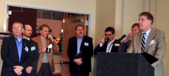
For a workshop song, I chose to emulate the theme song for a television show called WKRP in Cincinnati, which was a 1980s sitcom about a fictitious radio station in Cincinnati. I nominated different workshop participants as cast members to play the various parts in WKRP in Cincinnati: Herb was played by Bill Nuttle, Bailey was played by Caroline Wicks, Mr. Carlson was played by Alan Vicory, Venus Flytrap was played by Heath Kelsey, Les Nessman was played by Jordy Jorhdal, Dr. Johnny Fever was played by me, Andy Travis was played by Chuck Somerville and Jennifer was played by Barbara Allison.
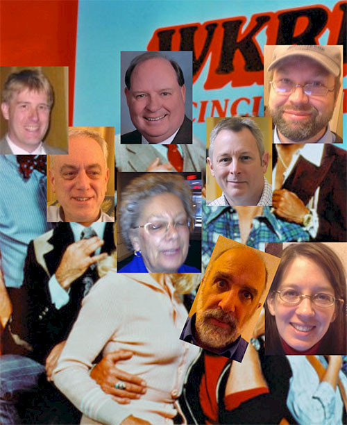
The lyrics to the song are the following:
Cincinnati, Ohio River
(To the tune of WKRP in Cincinnati)
Baby, if you've ever wondered
Wondered whatever became of me
I'm making report cards in Cincinnati
Cincinnati, Ohio River
Got kind of tired
Of working in isolation
State vs. state
Up and down the river
Maybe all of us
Can work together with no big fuss
Just remember all of us
Once in awhile
Heading back to Maryland
Leaving you behind
Hardest thing we ever had to do
Working through workshop two
We were very productive
The bonus from this effort
Was finding you.
Baby, if you've ever wondered
Wondered whatever became of me
I'm making report cards in Cincinnati
Cincinnati, Ohio River
I'm on the Ohio River in Cincinnati.
About the author
Bill Dennison

Dr. Bill Dennison is a Professor of Marine Science and Vice President for Science Application at the University of Maryland Center for Environmental Science.