Gulf of Kachchh Integrated Assessment
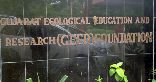
Bill Dennison · | Environmental Report Cards |We conducted a second workshop in Gandhinagar, the capitol of Gugarat, India, which immediately followed our report card workshop in Jamnagar. This workshop was held at the Gujarat Ecological Education and Research (GEER) Foundation. Gandhinanger was about 5 hours drive from our report card workshop in Jamnagar. GEER is a bit like one of the UMCES laboratories with an environmental research and education mission. It is supported by state funds for the building and essential staff and then competes for grants and contracts for the research funding.

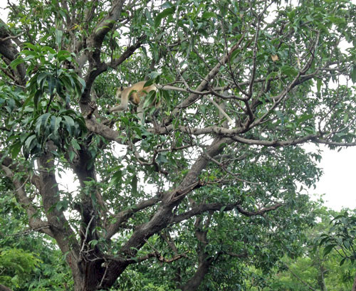
One of the most enjoyable aspects of this workshop was the second floor open air eating area at GEER for lunch and breaks. At our first break, we heard a strange animal noise which we initially thought was a tropical bird. But then we noticed that we were being watched by several Lion's Tail Monkeys in the trees adjacent to our eating area. Apparently, the wild monkeys have learned to scavenge leftovers from the eating area. There was a very nice nature park and zoo associated with the GEER facility which we toured at the end of the workshop.

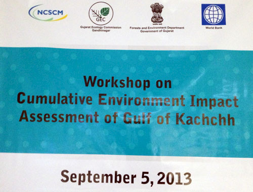
The goal of this workshop was to develop a framework for conducting an integrated environmental assessment of the Gulf of Kachchh. This cumulative assessment was broader in scope than the report card, covered a wider region (watershed) than the report card (Marine National Park) and was designed for a longer time period (decadal rather than annual). There were some of the same people at both workshops, but most of the attendees were unique to each workshop.
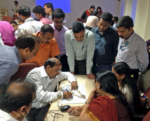
We asked the different breakout groups to assess the vulnerability of different sections of the Gulf of Kachchh and were impressed at the convergence of what different groups identified as the highly vulnerable vs. least vulnerable regions. There is an overall west to east gradient over the 170 km length of the Gulf in many aspects, including tidal range (3-7 m) and flushing time (8-50 d), as well as turbidity, sediment inputs and types, and coral abundance.

One of the aspects that was raised at the workshop was the geographical context of the Gulf of Kachchh. There are a diversity of gulfs around the Arabian Sea, including the Gulf of Aden and Red Sea, the Gulf of Oman, Persian Gulf, Gulf of Khambhat and the Gulf of Kachachh. These gulfs have minimal freshwater inputs, and the largest river flowing into the Arabian Sea is the Indus River, north of the Gulf of Kachchh. The monsoon weather patterns result in strongly seasonal winds and rains. The wide continental shelf on the northwest coast of India results in high tidal ranges in the Indian Gulfs (Kachchh and Khambhat). These high tidal ranges favor mangroves over corals in the Indian gulfs, while the other Arabian Sea gulfs have more coral reef development. Another aspect of this region is the high evaporation (~7 m/yr) vs. precipitation (~3m/yr), leading to stunted salt tolerant vegetation. The Gulf of Kachchh watershed includes extensive areas that are flooded during the monsoon season and then evaporation leaves a dry and salty lake bed known as the Greater and Lesser Rann of Kachchh.
Various threats to the Gulf of Kachchh were elucidated as part of the workshop. They included both historical activities and current activities. Historical use of corals in the cement industry degraded the coral reefs before the establishment of the Marine National Park. Historical mangrove deforestation to make room for evaporative salt drying ponds reduced mangrove area. The creation of the Gulf of Kachchh Marine National Park stopped the coral and mangrove exploitation and active restoration programs have been initiated for mangroves and corals. There are also many current activities in this highly industrialized region which pose environmental threats, including untreated sewage, fertilizer and agricultural chemical use, shipping and associated ballast water and possible spills, port development and other coastal land use, concentrated salt brine runoff (bittern), overfishing, and groundwater extraction for irrigation that causes salt intrusion into coastal groundwater.

We mocked up a 12 pp. booklet for the cumulative assessment executive summary to complement the report card trifold for the Gulf of Kachchh, which we had mocked up during the Jamnajar workshop. The challenge of producing two products from back-to-back workshops was considerably lessened with the able assistance of the team from the National Centre for Sustainable Coastal Management (NCSCM). In addition, the state of Gugarat has a rather unique organization called the Gugarat Ecology Commission (GEC), which has access to scientific data and expertise in addition to mounting public environmental education campaigns. They have produced some excellent field guides and beautiful 'coffee table' books. The senior leadership of both NCSCM and GEC were not just present throughout both workshops, but were actively engaged in the preparation, organization and follow-up activities.
About the author
Bill Dennison

Dr. Bill Dennison is a Professor of Marine Science and Vice President for Science Application at the University of Maryland Center for Environmental Science.