Blog posts by Jason Howard
Map of mainland Puerto Rico marked with field trip sites and travel routes. The first day (green) took us from Bayamón (A) to Guánica Dry Forest (B) to a small-scale coffee plantation (C). Day two included El Yunque Rainforest (D), the agriculture areas near Humacao (E), y la Placita de Santurce (F). Map by USGS.

Field Trips in Puerto Rico…. with a mission

Jason Howard ·
17 July 2018
Science Communication |     1 comments

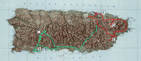
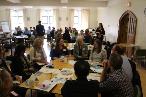
The Integration and Application Network has been involved in a series of workshops in partnership with U.S. Geological Survey to identify and communicate drought impacts across regions of the United States. The latest of this series took place in San Juan, Puerto Rico on May 30-31, focusing on vulnerabilities and draught-related issues specific to Puerto Rico and the US Virgin Islands.

Read more