The Meta River Report Card Workshop - The Orinoco River Basin, Colombia
Alexandra Fries · | Environmental Report Cards | Science Communication |This blog is part of the Basin Report Card Initiative: a partnership between the World Wildlife Fund (WWF) and the University of Maryland Center for Environmental Science (UMCES)
On June 29th, 2015, Simon Costanzo and I traveled from Bogota, Colombia to Puerto Lopez, Colombia for the Meta River Report Card Workshop. The workshop spanned from June 30th-July 2nd, and was the first of three workshops that will occur in Colombia, to develop report cards for three tributaries of the Orinoco River. Along with Simon, Sarah Freeman, and Catherine Blancard from the WWF office in Washington DC, also traveled to and attended the meeting.
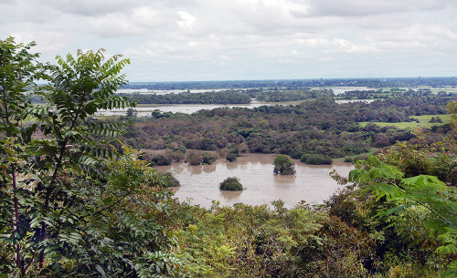
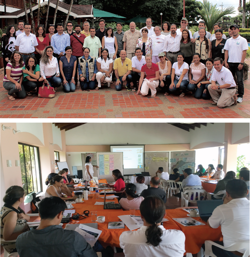
There were 19 organizations in attendance with over 40 participants, all helping to identify the environmental, social, and economic indicators that make up the Meta River Report Card.
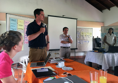
Outcomes from the meeting included:
- Identification, and ranking by importance, of environmental, social and economic values within the Meta River basin.
- Identification, and ranking by importance, of threats to identified values within the Meta River basin.
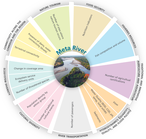
- Choice of indicators for measuring/reporting the status of these values and threats.
- Assignment of key personnel to work on developing each indicator and defining benchmarks for scoring against.
- A time line through to completion and public release in early 2016.
Participants worked together to evaluate the values and threats to the Meta River basin, and identified over 60 potential indicators to assess river status.
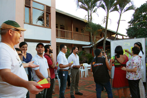
The indicators were narrowed down to the most important ones, by cost effectiveness, future viability, sensitivity to change, relevance to management actions, and data availability.
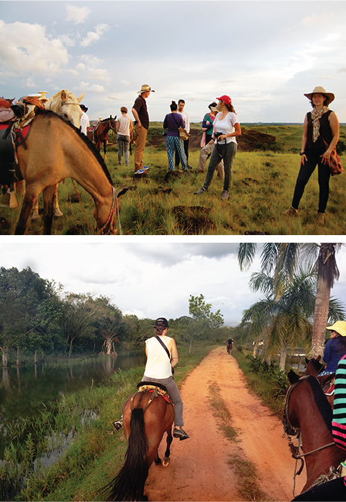
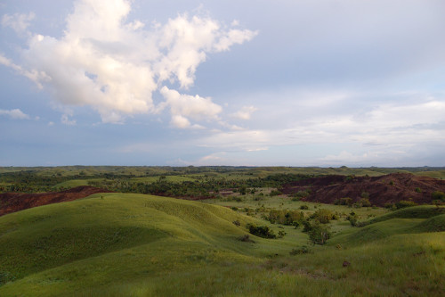
After the workshop ended, nine members of the team from UMCES, WWF, and WWF Colombia all went horseback riding in the surrounding countryside. It was the perfect way to end the workshop, although we were very sore on the bus back to Bogota the next day!
About the author
Alexandra Fries

Alexandra is a Program Manager at the Integration and Application Network (IAN) based at the University of Maryland Center for Environmental Science in Annapolis MD. Alexandra’s work in environmental management has been focused on assessment, monitoring, and management of aquatic, marine, and terrestrial ecosystems. Alexandra has extensive experience in data analysis, synthesis, mapping, interpretation, and communication. Alexandra has experience working with a diverse group of partners including those in local, state, and federal government, non-governmental organizations, non-profit organizations, private industry, and academia. Within IAN, Alexandra conducts data analysis, synthesis, and communication by completing environmental report cards, updating the IAN website, and conducting science communication courses. Alexandra also creates science communication materials such as diagrams, posters, presentations, newsletters, and reports using Adobe Creative Suite, Microsoft Office Suite, and ArcGIS. Alexandra has experience managing projects and staff on local and international projects, liaising directly with partners and colleagues, and providing insights on project direction and goals.