IAN is committed to producing practical, user-centered communications that foster a better understanding of science and enable readers to pursue new opportunities in research, education, and environmental problem-solving. Our publications synthesize scientific findings using effective science communication techniques.

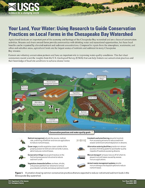
Your Land, Your Water: Using Research to Guide Conservation Practices on Local Farms in the Chesapeake Bay Watershed (Page 1)

Your Land, Your Water: Using Research to Guide Conservation Practices on Local Farms in the Chesapeake Bay Watershed

Webber JS, Clune JW, Soroka AM, and Hyer KE ·
19 December 2023

Agricultural lands are an important part of the economy and heritage of the Chesapeake Bay watershed and are a focus of conservation activities. Streams and rivers around farms provide communities with drinking water and recreational opportunities, but these local benefits can be impaired by elevated nutrient and sediment concentrations.

Read more

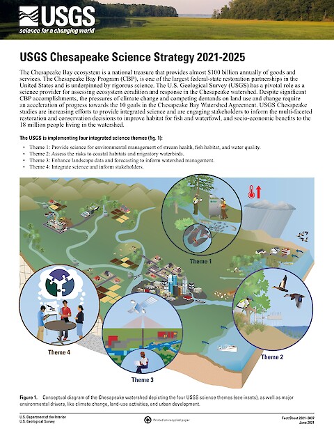
USGS Chesapeake Science Strategy 2021-2025 (Page 1)

USGS Chesapeake Science Strategy 2021-2025

Hyer, K., Phillips, S. ·
2 July 2021

The Chesapeake Bay ecosystem is a national treasure that provides almost $100 billion annually of goods and services. The Chesapeake Bay Program (CBP), is one of the largest federal-state restoration partnerships in the United States and is underpinned by rigorous science. The U.S. Geological Survey (USGS) has a pivotal role as a science provider for assessing ecosystem condition and response in the Chesapeake watershed.

Read more

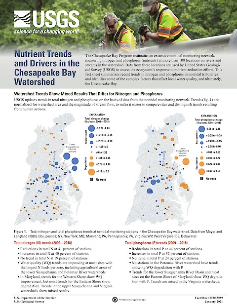
Nutrient Trends and Drivers in the Chesapeake Bay Watershed (Page 1)

Nutrient trends and drivers in the Chesapeake Bay watershed

Hyer KE, Phillips SW, Ator SW, Moyer DL, Webber JS, Felver R, Keisman JL, McDonnell LA, Murphy R, Trentacoste EM, Zhang Q, Dennison WC, Swanson S, Walsh B, Hawkey J, Taillie D ·
26 January 2021

The Chesapeake Bay Program maintains an extensive nontidal monitoring network, measuring nitrogen and phosphorus (nutrients) at more than 100 locations on rivers and streams in the watershed. Data from these locations are used by USGS to assess the ecosystem’s response to nutrient-reduction efforts.

Read more