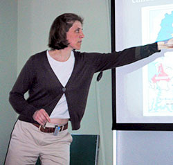
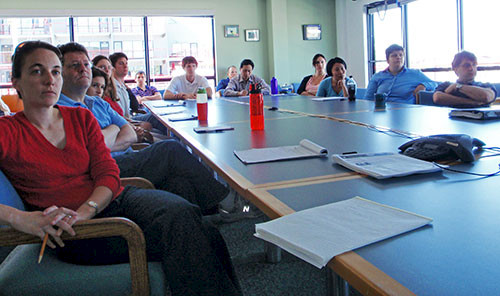
Discussion following Kathy Boomer seminar on the role of watershed modeling in local land management decisions in Maryland communities
Bill Dennison · 
This blog post discusses the seminar given by Dr Kathy Boomer, of the Smithsonian Environmental Research Center, at the IAN Seminar Series on May 20, 2010.
A lively discussion took place following Kathy's seminar, focused on the use of models, particularly the use of multiple models, for planning and resource management. Since Kathy's seminar was presenting both the modeling perspective along with the county planning perspective, the Chesapeake Bay modeling team was particularly interested in understanding how multiple models could be used for planning or management purposes. The use of multiple models, or ensemble modeling, was seen as a powerful scientific approach, but a real challenge for management due to a) different types of models (scoping models vs more sophisticated models), b) the desire of many managers who say "Just give me a number (load allocation for the Total Maximum Daily Load)". The use of multiple models was seen as a communication challenge, as an appreciation of uncertainty is required to embrace multiple models.
The examples of multiple models used in practice include hurricane forecasting, where the different models are integrated into a swath of projected paths and intensities. The difference between a forecast with nearly immediate and obvious results (hurricane tracks) vs. a forecast with long time lags and subtle results at best (watershed loads) weakens the utility of this analogy. Kathy proposed that by developing a weighted average of different models and watching how well these models performed in space over time could result in better predictive power than any one model.

The issue of absolute loads vs. relative loads from different models was discussed, and the principle value of using watershed models was recognized in scenario planning where the relative, rather than the absolute values were most important. The issue of nutrient loads vs. other weighting factors used in decision making regarding zoning and planning in Queen Anne's County, Maryland was also discussed. Queen Anne's County has a small population with historically modest population growth rates, but much larger growth rates are being forecast as a result of the proximity to the Washington, D.C., Baltimore and Annapolis corridor. For Queen Anne's County, the infrastructure issues (e.g., roads, water and sewer) trump the watershed considerations for local planners. Since local planners and zoning boards have control over infrastructure and many of the environmental issues appear to them to be at a scale beyond their control, the natural tendency is to remain focused on the infrastructure. An analogy was made between a doctor working to fix a broken arm (infrastructure) vs. diagnosing and prescribing treatment for a chronic disease (environmental degradation).
The watershed models were used to create scenarios called 'Build-out' vs. 'Consolidated Growth' (not unlike the Maryland Smart Growth approach). The revelation from the different scenarios was the relatively small amount of difference that the different growth scenarios have on nutrient loading. The biggest sources of nutrients in the region are from agricultural operations, including nutrient fertilization for grain crops. The assumptions from the scenarios included the assumption that increased human population would have enhanced sewage treatment in all scenarios, thus all of the models predicted a reduction in nutrient loads with increased human population due to the reduction in agricultural lands without concomitant increase loads from housing developments. The recognition that increased sewage treatment was not a given and that runoff patterns are largely influenced by increases in impervious surface area (roofs and roads) that accompanies housing developments.
The models all indicate that the largest difference in nutrient loadings on Chesapeake Bay's Eastern Shore will be a result of implementation of agricultural best management practices. Since zoning and planning boards do not have a large degree of authority on agricultural practices, it was recognized that an important consideration for communicating the concept of open space was to not confuse open space with agricultural lands—these land uses have dramatically different consequences with regard to nutrient loadings, for example.
Another aspect of watershed modeling that was discussed was the land cover data layers that were used in the models. The Chesapeake Bay Program Phase 5 watershed model uses the regional data available (RESAC) in which low density housing is given the designation of grassland, with commensurate grassland loading factors. In contrast, a more spatially detailed land cover is available for the state of Maryland and low density housing has a separate classification. The lack of spatial data on fertilizer application or chicken manure application was seen as a gap of both land cover data sets.
Finally, the discussion turned to how the dichotomy between 'multiple models' vs. 'single model' could have a middle ground, in which community modeling (the shared model code and interchangeable model modules promoted by the Chesapeake Research Consortium) could provide some degree of multiple models while maintaining an integrated model that could be used in the Total Maximum Daily Load calculations.
About the author
Bill Dennison

Dr. Bill Dennison is a Professor of Marine Science and Vice President for Science Application at the University of Maryland Center for Environmental Science.
Next Post > Science Communication Course in Toronto, Ontario
Comments
-
John Paine 15 years ago
I attended Dr. Boomer's related session at the Chesapeake Modeling Symposium 2010, and appreciate the opportunity to get follow-up information on this blog. I appreciate the work that went into the research, and applaud efforts to focus attention on the realities of water quality modeling as it relates to decision-making in the Chesapeake Bay watershed. Thanks for all your hard work!

