Draft Mississippi River report card released at 2014 America's Watershed Initiative Summit
Bill Dennison ·Heath Kelsey, Bill Nuttle, Caroline Donovan, Brianne Walsh and I traveled to Louisville, KY on the banks of the Ohio River to participate in the 2014 America's Watershed Initiative Summit. This Summit represented the culmination of a series of basin workshops and a concerted effort by IAN Science Integrators, Science Communicators, and Science Communication Interns to determine indicators, access indicator data and calculate scores. IAN produced an eight-page gatefold report card, five basin inserts, a technical supporting document and a suite of conceptual diagrams, maps and posters used in the Summit. In addition, we contributed to the story boarding of the three-minute report card video.
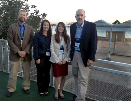
The Summit was expertly facilitated by a group called Conversant, who were able to completely fill the available time for structured interactions, which maximized the exchanges between participants. We were given an incredible amount of constructive feedback about the report card through this process.

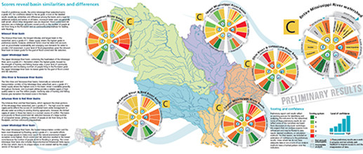
We chose to emulate a riverboat paddle wheel for the report card. Jane Thomas created an attractive and informative infographic based on the paddle wheel theme, which we used for each of the basins (Upper Mississippi, Ohio, Lower Mississippi, Arkansas/Red, Missouri) and for the overall Mississippi River watershed. The paddle wheel used the 23 indicators that were selected for the six goals (ecosystems, flood control, transportation, water supply, economy, and recreation).
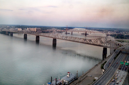
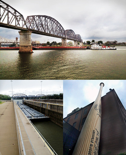
Louisville is located at the 'Falls of the Ohio', which historically was the largest impediment to navigation along the nearly one thousand mile long river. Locks and dams have made navigation possible, and Louisville is located just upstream of the falls. There is an old railroad bridge that has been converted to a pedestrian/bicycle bridge, allowing us to walk across the river from Kentucky to Indiana. The Galt House Hotel where the Summit was located provided wonderful river views, particularly from the restaurant on the 25th floor at sunset. Louisville is also the site of the Louisville Slugger baseball bat museum and factory.
About the author
Bill Dennison

Dr. Bill Dennison is a Professor of Marine Science and Vice President for Science Application at the University of Maryland Center for Environmental Science.

