The long lost Gulf of Mexico Report Card project has been rekindled this week with a pilot project to create EcoHealth metrics for the Texas coast. We hope to scale this up to the rest of the Gulf next (including the parts in Mexico and Cuba).
This blog is part of the Basin Report Card Initiative: a partnership between the World Wildlife Fund (WWF) and the University of Maryland Center for Environmental Science (UMCES) The word democracy has its origins in a Greek word from the 5th century B.C. Democracy is formed by combining "demos" meaning "the people" with "kratia" meaning "power". Literally translated as power by the people, democracy is the foundation of the modern western political systems.
My collaboration with Randy Olson, the master of developing good narrative structure for communicating science, has led me to consider the parallels between developing effective visual graphics and good narrative. Both narrative structure and visual processing are hard wired into the human brain.
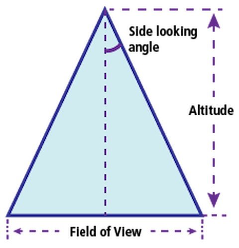
This blog is part of the Basin Report Card Initiative: a partnership between theWorld Wildlife Fund (WWF) and the University of Maryland Center for Environmental Science (UMCES) One of the attributes of report cards that is particularly useful is the ability to view a whole system synoptically. We often refer to this synoptic view as analogous to flying over at a high altitude.
We have embarked on a journey to create a monitoring and evaluation approach for the Tina Bishop and Peter Tuddenham from the College of Exploration are serving as our external evaluators and Jamie Testa is tasked with the job of being an internal evaluator to support this effort. We have long considered developing an evaluation program for IAN to accompany our efforts, but it has not eventuated until now.
Yesterday, Randy Olson announced his exciting new communication tool, the Narrative Index in his blog. For the past few months, Randy and I have been discussing this index, and we have been approaching the index from the perspective of an experimental scientist (a background that Randy and I share). Randy has been analyzing political speeches and I have been analyzing scientific papers.
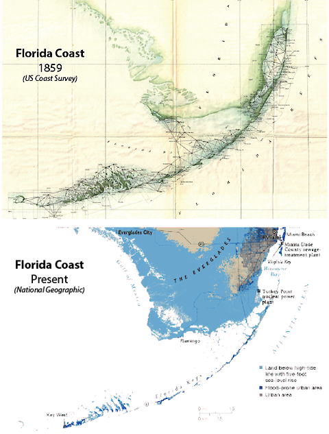
The experience of the last several generations has been that, while we cannot master the processes that shape the coast, we have been able to anticipate and mitigate their impact. The position of the coastline reflects the interplay of dynamic processes. Until recently, these processes have maintained a rough equilibrium. Most places in the US, the coastline has changed little in the 150 years since it was first mapped by the Coast Survey.
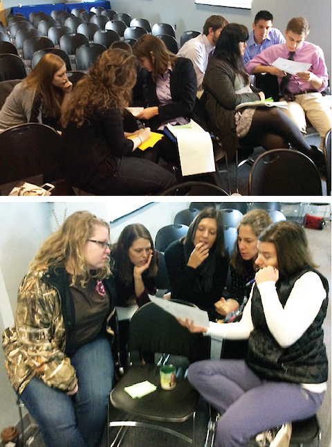
At the request of graduate students in the Marine Environmental and Estuarine Science (MEES) program at the University System of Maryland, the Horn Point Laboratory and the second workshop was at Chesapeake Biological Laboratory (CBL), University of Maryland Center for Environmental Science (UMCES).
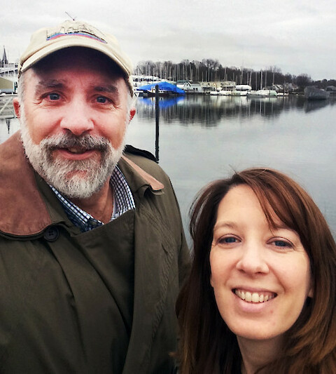
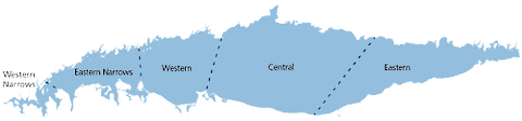
Caroline Donovan and I traveled to Mamaroneck, NY and Stamford, CT on 3 Feb 2016 to work with Save The Sound in developing a strategy for Long Island Sound report cards. The Integration and Application Network produced a Long Island Sound report card in 2015, working with the Long Island Sound Funders Collaborative.


![Neural basis for narratives (left) and distinct hues (right). Credit: Hasson in Olson 2015 (left) and Neural basis for unique hues, Stoughton and Conway 2008 [[pdf]] (right)](/site/assets/files/2524/brainhue-01-500x226.480x0.png)