Discover the Waterways of South-East Queensland
Bill Dennison · | Environmental Report Cards | Science Communication | Australian cities and waterways |Discover the Waterways is now available for free in PDF format from IAN Press.

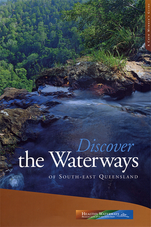
This book was the third of a series of four books produced as part of the Healthy Waterways campaign in Southeast Queensland. It was published in 2001 and was intended to provide citizens with enough context to view key ecosystem features from different vantage points around Southeast Queensland. A previous blog post discussed the unusual process of writing this book with Liz Clarke, Stuart Bunn, Eva Abal, Andrew Watkinson and Cath Collier. This book is divided into three sections. Section A discusses why waterways are important, Section B discusses the ecosystem health of the different waterways (both freshwater and marine) and Section C discusses the future. This book was the first publication with significant attention on the catchments of Southeast Queensland, as the first two books (Crew Guide and Moreton Bay Study) were primarily focused on Moreton Bay.
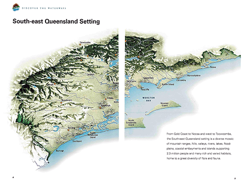
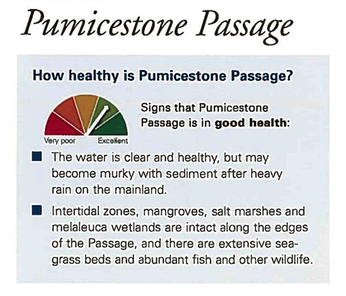
The surprising aspect about this book was that the scientific findings that were revealed in the ongoing research were so visually apparent from the right vantage points around the catchment (= watershed). One of the key graphics (pp. 4-5) in the book is an oblique aerial view of the Southeast Queensland watershed. This image was inspired by a three dimensional relief map of Southeast Queensland that we had at the Healthy Waterways office. I took the map off the wall and photographed it from various angles and the designer, Leonie Witten, was able to create a digital version. We developed high quality maps of the various subcatchments which included key geographic features and various vantage points. These maps were accompanied by our first use of a ‘fire danger’ type of color graphic to rate the ecosystem health of the different regions. We chose this display to avoid confusion with the grading scheme that was being used for the annual report cards.


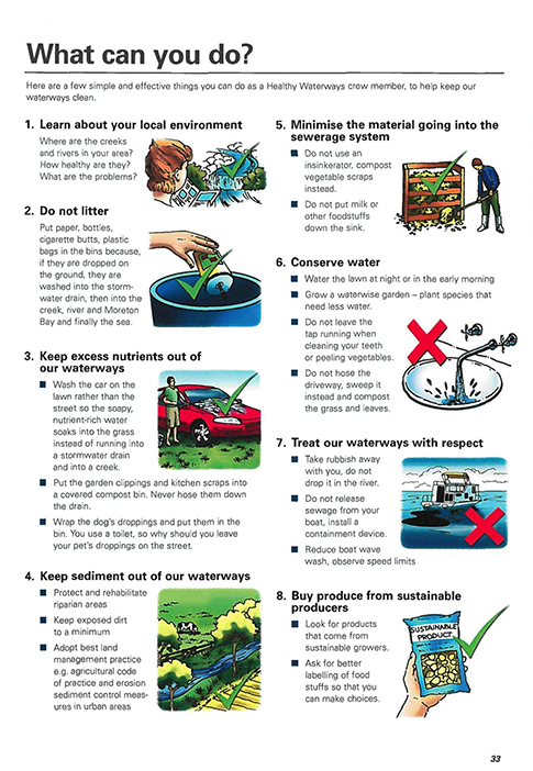
As in the ‘Crew Guide’, we included catchment comments from various key people in the region. We were also able to feature Councillor Allan Sutherland, one of the key people involved in the Healthy Waterways campaign in an unusual, but fitting, manner - discussed in a previous blog. We also began including a list of things that individuals can do, which is now a standard feature in many of our IAN report cards and science communication products. I also liked the ‘Quick Assessment Guide’ in which we provided a series of things that average citizens could look for without sophisticated equipment when evaluating the health of a waterway.

As with the previous and subsequent books in the series, we chose a small page format so that the book would be ‘friendly’ and easy to carry. This presented a challenge in this book in which the maps and conceptual diagrams would ideally be much larger. But as the Healthy Waterways website developed more capacity, these maps and diagrams became scalable and these visual elements were used in various iterations of the website.
Discover the Waterways became a ‘bridge’ between the previous Moreton Bay focused books and the catchment focus of the next and final book in the series; ‘Healthy Waterways Healthy Catchments: Making the Connection in South East Queensland’. It would be interesting to revisit the various vantage points throughout Southeast Queensland described in this book and compare the current situation. Hopefully, the various actions taken throughout Southeast Queensland have rectified some of the problems identified in Discover the Waterways in spite of the relentless development and population pressures in the region.
About the author
Bill Dennison

Dr. Bill Dennison is a Professor of Marine Science and Vice President for Science Application at the University of Maryland Center for Environmental Science.