Blog posts by Bill Dennison
The Customs House in downtown Brisbane, Australia (Credit: Wikipedia Commons/Figaro)

Brisbane 2011: Living with Floods and Dancing with Dugongs: Part 1- Introduction

Bill Dennison ·
27 January 2012
Queensland Floods |     1 comments

A seminar entitled 'Brisbane 2011: Living with Floods and Dancing with Dugongs' was presented on 8 July 2011. The seminar was sponsored by the University of Queensland Global Change Institute, and delivered at the historic Customs House in downtown Brisbane, situated along the shore of the Brisbane River. The following fifteen part blog series captures the talk, the question/answer section and the actual 'Dancing with Dugongs'. The Customs House in downtown Brisbane, Australia (Credit:

Read more

Louisiana's Comprehensive Master Plan for a Sustainable Coast

Coastal Louisiana Master Plan released

Bill Dennison ·
26 January 2012
Applying Science | 

Coastal Louisiana has experienced considerable land loss over the past century due to relative sea level rise. This land loss has led to increased vulnerability to storm surges, as dramatically illustrated when storm surges from Hurricanes Katrina and Rita wrecked havoc on Louisiana in 2005. Immediately following the devastating 2005 hurricanes, the Integration and Application Network was asked to help contextualize the issues and provide graphical communication products.

Read more

Brisbane city skyline

Australia reflections

Bill Dennison ·
25 January 2012
Learning Science | 

The most striking thing I noticed about Australia was the booming economy due to mineral resources. This included coal mining in Queensland and offshore gas and oil in Western Australia and Northern Territories. In addition, the live cattle and sheep trade with the Middle East and Indonesia was large.

Read more

Google Ngram timeline of the use of 'nutrient trading' in published books from 1985.

Nutrient trading in Chesapeake Bay

Bill Dennison ·
24 January 2012
Applying Science | 

A recently released policy statement by a group of Senior Scientists and Policymakers provides a review of nutrient trading as a management tool to be used in Chesapeake Bay. Nutrient trading, the buying and selling of nutrient reduction credits, is a relatively new approach that is being applied to achieve nutrient reductions. There is a new tool provided by Google that tracks the use of different terms over time called ‘Google Ngram Viewer’.

Read more

Bill Dennison and Peter Oliver at the International WaterCentre

Sabbatical reflections

Bill Dennison ·
23 January 2012
Learning Science | 

Spending six months away from home and away from the normal work environment was a privilege that not many people have the opportunity to experience. It is one of the substantive 'perks' of academia for those who choose to avail themselves of this opportunity. While it does take considerable energy to move house and office and get set up in a foreign land, the opportunity to view what you do from outside your normal world provides invaluable perspective.

Read more

The grade voters give their local streams, creeks, and rivers is only a slightly higher C-Minus.

Chesapeake citizens are well informed: New poll results of Maryland public perception of Chesapeake Bay restoration

Bill Dennison ·
19 January 2012
Environmental Literacy |     2 comments

A group called "Clean water, Healthy families" released the results of a poll of Maryland voters regarding Chesapeake Bay restoration. This poll provided some interesting findings. It was particularly gratifying to see that the public perception of the health of the Bay (average C-) matches EXACTLY with the EcoCheck report card (2010 score = C-). The grade voters give their local streams, creeks, and rivers is only a slightly higher C-Minus.

Read more

Crown of thorns seastar on southern Upolu Island reef affected by tsunami

Samoa; tsunamis, coral reefs, fishing, dredging

Bill Dennison ·
18 January 2012
Learning Science |     1 comments

Samoa is broken up into American Samoa and Samoa (formally known as Western Samoa). The islands are volcanic in origin, formed by a 'hot spot' of tectonic activity below the Pacific tectonic plate which is moving from east to west. The last volcanic outburst was on Savai'i, the largest island in the archipelago, in the early 1900s. The volcanic soils are nutrient-rich, resulting in lush plant growth.

Read more

David Haynes (left) and Tim Carruthers (right) on the Samoa headquarters of the Secretariat of the Pacific Regional Environment Programme

A visit to the Secretariat of the Pacific Regional Environment Programme, Samoa

Bill Dennison ·
16 January 2012
Learning Science | 

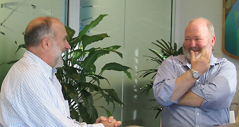
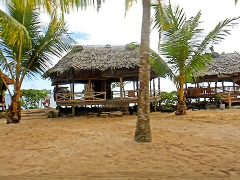
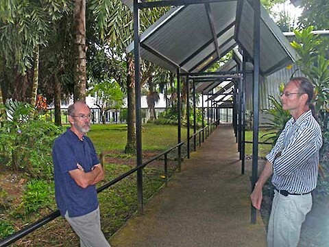
At the invitation of Drs. David Haynes and Tim Carruthers, I visited the Secretariat of the Pacific Regional Environment Programme (SPREP) offices in Apia, Samoa. I had previously met David Sheppard, the Director of SPREP, when he visited Washington, D.C., but David was away on travel when I visited Samoa. The SPREP offices formed a nice campus of separate buildings, joined by covered walkways. I met with various staff, gave a seminar and had a nice lunch in town with Tim and Tepa from SPREP.

Read more

Presentation at the Joint Meeting of the Gulf of Mexico Alliance and Hypoxia Task Force.

Developing a Gulf of Mexico report card

Bill Dennison ·
13 January 2012
Environmental Report Cards | 

Our IAN group likes to tackle large complex projects on iconic ecosystems, while working with interesting and knowledgeable people. We love the immersive learning that comes with challenging projects and good teams. The Gulf of Mexico report card project is one of those exciting projects on an iconic ecosystem with a good team.

Read more