Blog posts for Louisiana Sea Level Rise
St. Bernard Parish seal with Chalmette National Historical Park monument for the Battle of New Orleans.

Coastal Louisiana issues discussed at public meeting in St. Bernard Parish

Bill Dennison ·
25 June 2013
Environmental Report Cards | 

On 17 June 2013, I traveled to The Water Institute of the Gulf (TWIG) in Baton Rouge, Louisiana to discuss the development of a Coastal Louisiana report card. The discussion centers around developing indicators of sustainable landscapes and resilient communities for coastal Louisiana. We established a strategy of providing annual coastal updates and biennial report cards ahead of the next Master Plan (2017).

Read more

Management class.

Me and Bobby Twilley

Bill Dennison ·
1 May 2013
Science Communication | 

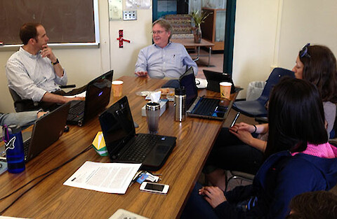
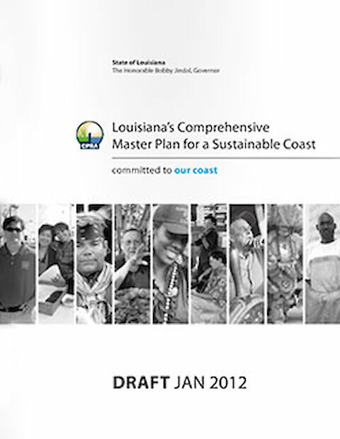
We had a great visit with Dr. Robert Twilley, Louisiana Sea Grant Director and a faculty member at Louisiana State University. Robert gave a wonderful seminar at Horn Point Laboratory, covering the history of coastal Louisiana wetland loss, Mississippi River diversions and provided the context for the 2012 Master Plan.

Read more

Louisiana's Comprehensive Master Plan for a Sustainable Coast

Coastal Louisiana Master Plan released

Bill Dennison ·
26 January 2012
Applying Science | 

Coastal Louisiana has experienced considerable land loss over the past century due to relative sea level rise. This land loss has led to increased vulnerability to storm surges, as dramatically illustrated when storm surges from Hurricanes Katrina and Rita wrecked havoc on Louisiana in 2005. Immediately following the devastating 2005 hurricanes, the Integration and Application Network was asked to help contextualize the issues and provide graphical communication products.

Read more