Publications about Chesapeake Bay

IAN is committed to producing practical, user-centered communications that foster a better understanding of science and enable readers to pursue new opportunities in research, education, and environmental problem-solving. Our publications synthesize scientific findings using effective science communication techniques.
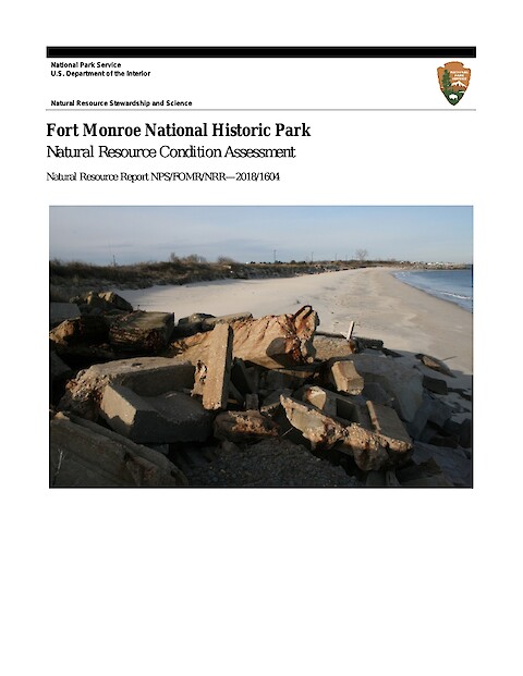
Fort Monroe National Historical Park Natural Resource Condition Assessment (Page 1)

Fort Monroe National Historical Park Natural Resource Condition Assessment

Lookingbill T, Engelhardt K, Geraghty C, Hatchel N, Kitchen D ·

Fort Monroe National Monument is located at the tip of the Virginia Peninsula in Hampton, Virginia. The site includes the largest stone fort built in the United States and was formally added to the National Park System in 2011, recognizing millennia of human interactions with this landscape. Natural resources within the 325-acre park boundary include an ecologically diverse and productive saltmarsh cordgrass wetlands within Mill Creek.

Data Interpretation and Synthesis Methods Manual (Page 1)

Data Interpretation and Synthesis Methods Manual

Caroline Donovan, Dylan Taillie, Alexandra Fries, Brianne Walsh, Emily Nastase ·

Chesapeake Monitoring Cooperative's Data Interpretation and Synthesis Methods Manual is a step by step comprehensive guide to interpreting and communicating data for beginner and experienced monitoring groups alike. This manual was produced to be used in tandem with a hands on workshop that guides attendees through the process of interpreting their data.

IAN Report Card 2016 (Page 1)

IAN Report Card 2016

Jamie Testa, Bill Dennison, Alexandra Fries ·

IAN staff reflected back on accomplishments from 2016 in its 2nd annual report card. The self-assessment is based on indicators in three categories: social impacts, ecological outcomes, and partner engagement. IAN received an overall grade of A- (90%) which is up from 2015's grade of B+ (88%).

Watershed export of fine sediment, organic carbon, and chlorophyll-a to Chesapeake Bay: Spatial and temporal patterns in 1984–2016 (Page 1)

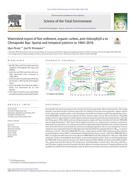
Watershed export of fine sediment, organic carbon, and chlorophyll-a to Chesapeake Bay: Spatial and temporal patterns in 1984–2016

Zhang Q, and Blomquist JD ·

Chesapeake Bay has long experienced nutrient enrichment and water clarity deterioration. This study provides new quantification of loads and yields for sediment (fine and coarse grained), organic carbon (total, dissolved, and particulate), and chlorophyll-a from the monitored nontidal Chesapeake Bay watershed (MNTCBW), all of which are expected to drive estuarine water clarity.

Creating a matrix for cross-goal collaborations (Page 1)

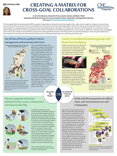
Creating a matrix for cross-goal collaborations

Caroline Donovan, Alexandra Fries, Suzanne Webster, Dylan Taillie ·

This poster describes an indicator matrix developed by the Chesapeake Monitoring Cooperative. The matrix demonstrates the overlapping objectives between the Chesapeake Bay Program’s Management Strategies and volunteer monitoring groups. The matrix can enhance understanding and inspire more monitoring, which will be used for restoration across all Bay Program goals (i.e., clean water, abundant life, conserved lands, and engaged communities).

Synthesis of nutrient and sediment export patterns in the Chesapeake Bay watershed: Complex and non-stationary concentration-discharge relationships (Page 1)

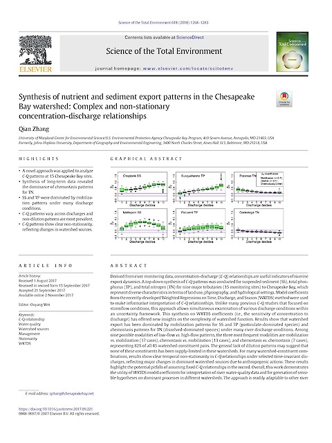
Synthesis of nutrient and sediment export patterns in the Chesapeake Bay watershed: Complex and non-stationary concentration-discharge relationships

Zhang Q ·

Derived from river monitoring data, concentration-discharge (C-Q) relationships are useful indicators of riverine export dynamics. A top-down synthesis of C-Q patterns was conducted for suspended sediment (SS), total phos- phorus (TP), and total nitrogen (TN) for nine major tributaries (15 monitoring sites) to Chesapeake Bay, which represent diverse characteristics in terms of land use, physiography, and hydrological settings.

Long-term nutrient reductions lead to the unprecedented recovery of a temperate coastal region (Page 1)

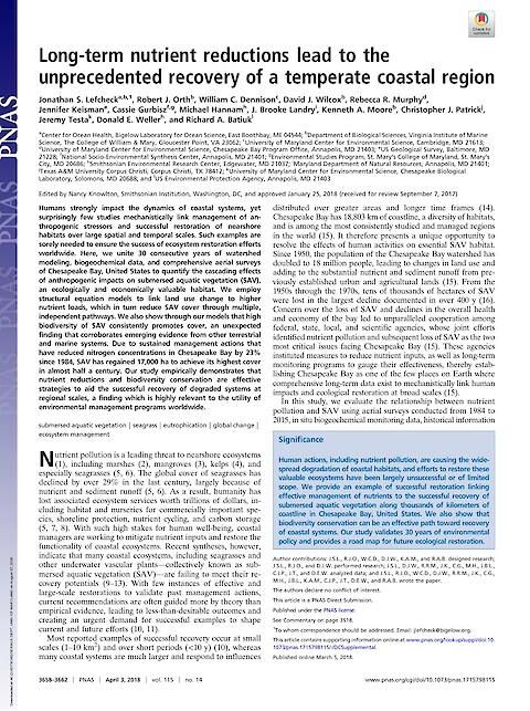
Long-term nutrient reductions lead to the unprecedented recovery of a temperate coastal region

Lefcheck JS, Orth RJ, Dennison WC, Wilcox DJ, Murphy RR, Keisman J, Gurbisz C, Hannam M, Landry JB, Moore KA, Patrick CJ, Testa J, Weller DE, and Batiuk RA ·

Humans strongly impact the dynamics of coastal systems, yet surprisingly few studies mechanistically link management of anthropogenic stressors and successful restoration of nearshore habitats over large spatial and temporal scales. Such examples are sorely needed to ensure the success of ecosystem restoration efforts worldwide.

Ecological Forecasting and the Science of Hypoxia in Chesapeake Bay (Page 1)

Ecological Forecasting and the Science of Hypoxia in Chesapeake Bay

Testa JM, Clark JB, Dennison WC, Donovan EC, Fisher AW, Ni W, Parker M, Scavia D, Spitzer SE, Waldrop AM, Vargas V, And Ziegler G ·

Chronic seasonal low oxygen condition (hypoxia) occurs in the deep waters of Chesapeake Bay as a result of eutrophication-induced phytoplankton blooms and their subsequent decomposition. Summertime hypoxia has been observed in Chesapeake Bay for over 80 years, with scientific attention and understanding increasing substantially during the past several decades after rigorous and routine monitoring programs were put in place.

Submersed Aquatic Vegetation in Chesapeake Bay: Sentinel Species in a Changing World (Page 1)

Submersed Aquatic Vegetation in Chesapeake Bay: Sentinel Species in a Changing World

Orth RJ, Dennison WC, Lefcheck JS, Gurbisz C, Hannam M, Keisman J, Landry JB, Moore KA, Murphy RR, Patrick CJ, Testa J, Weller DE, And Wilcox DJ ·

Chesapeake Bay has undergone profound changes since European settlement. Increases in human and livestock populations, associated changes in land use, increases in nutrient loadings, shoreline armoring, and depletion of fish stocks have altered the important habitats within the Bay. Submersed aquatic vegetation (SAV) is a critical foundational habitat and provides numerous benefits and services to society.

2016 Chesapeake Bay Report Card (Page 1)

2016 Chesapeake Bay Report Card

Caroline Donovan, Alexandra Fries, Dylan Taillie, Bill Dennison ·

This report card provides a transparent, timely, and geographically detailed assessment of Chesapeake Bay. In 2016, the report card includes five water quality indicators and two biotic indicators. In 2016, the overall grade for Chesapeake Bay is a 54%, a C. This means the Bay is in moderate health. Long term trends of each reporting region health and a fisheries index are also presented. For further details, visit the Report Card Website.